
Day 15
Today’s Miles: 17.4
Total Miles: 183.4
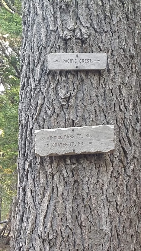
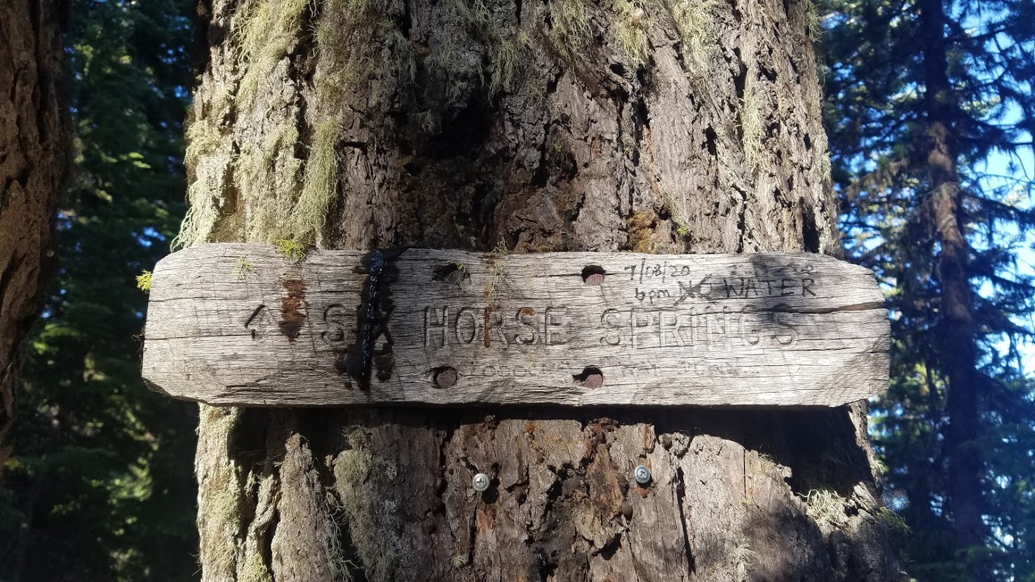
Thielsen Creek to Tolo Camp (Six Horse Spring) 6.2 miles south of Windigo Pass
It was another chilly morning. I had to sleep in all my layers last night, but the elevation here is pretty high. In fact, today I pass the highest point on the PCT in OR/WA!
Awake at 5:30 a.m., I walked by the creek and did some morning mediations, stretched, and retrieved my bear bag. Sonya was awake in my final 10 minutes, and I told her we could try to find each other at Odell Lake. I was planning a zero day there, so they potentially had time to catch up to me.

I was on the trail by 7:15 a.m. After trucking along for 10 minutes, I decided to check in with my good friend, the half-mile PCT app, and discovered I was NOT on the trail! I then remembered we camped at a trail junction, and I foolishly just hopped on a trail and started hiking. Yikes! The trail I was on would have met back up with the PCT, but I was disappointed I wasted 20 minutes, and I wasn’t being more careful.

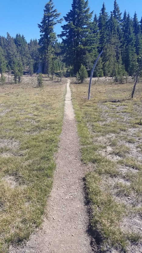
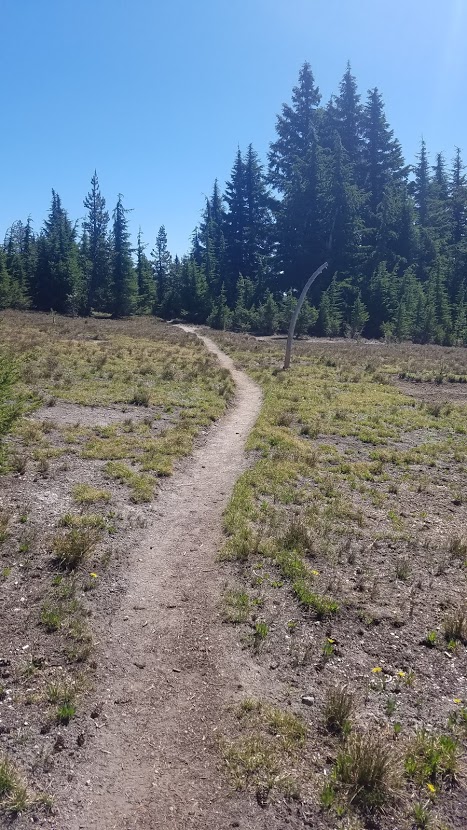
Heading back to camp, I found the PCT and was officially on my way. The early morning light shines through the trees like no other time of day, and this section had some wow moments.


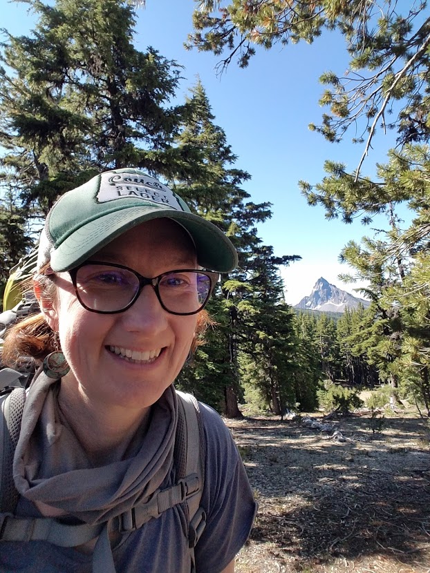
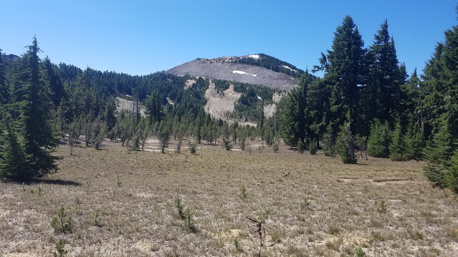
I was awarded a few last fun views of Mt. Thielsen, and encountered my very first snow on the trail. Nothing dangerous of course, and I was able to mostly walk around, but for some reason it felt momentous to me at the time.


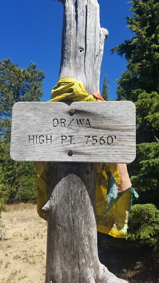
I traveled over several pumice flat areas before arriving at Tipsoo Pass, the highest point on the PCT in Oregon and Washington at 7560-feet. It was fairly anticlimactic – not even a hill to climb, but it was a fun location to acknowledge.


A buff was tied to the post and a bra…I guess that is what you do. I just took obligatory photos, and checked in with the real-world (taking advantage of the high point for cell reception). My dad let me know the GPS was working great, and he was having fun tracking my progress each day.

I had originally planned to camp at Maidu lake, but it was .8 miles off the trail, and not far enough along in my day, so I passed that junction and kept hiking toward Tolo camp and the trail to Six Horse Spring.

I passed my first SOBO (heading south) hiker later in the afternoon. He was resting off the trail smoking a cigarette, about to take a nap because he, “doesn’t hike in the heat of the day.” He was retired from Florida, had hiked the Appalachian trail already, and started the PCT in Cascade Locks, with plans to exit somewhere in Northern California.
The PCT website recommended folks only hike NOBO (northbound) this year due to the virus, so I only met 3 or 4 not following the recommendation. However, there were so few people on the trail in general, I don’t think it really mattered.
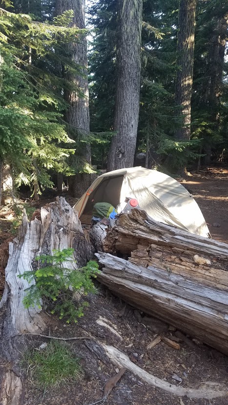
It was only 5:30 p.m., when I arrived at Tolo camp, but I was tired, and needed water. For some reason I thought there was a shelter, and I would see other hikers, neither of these things were true.

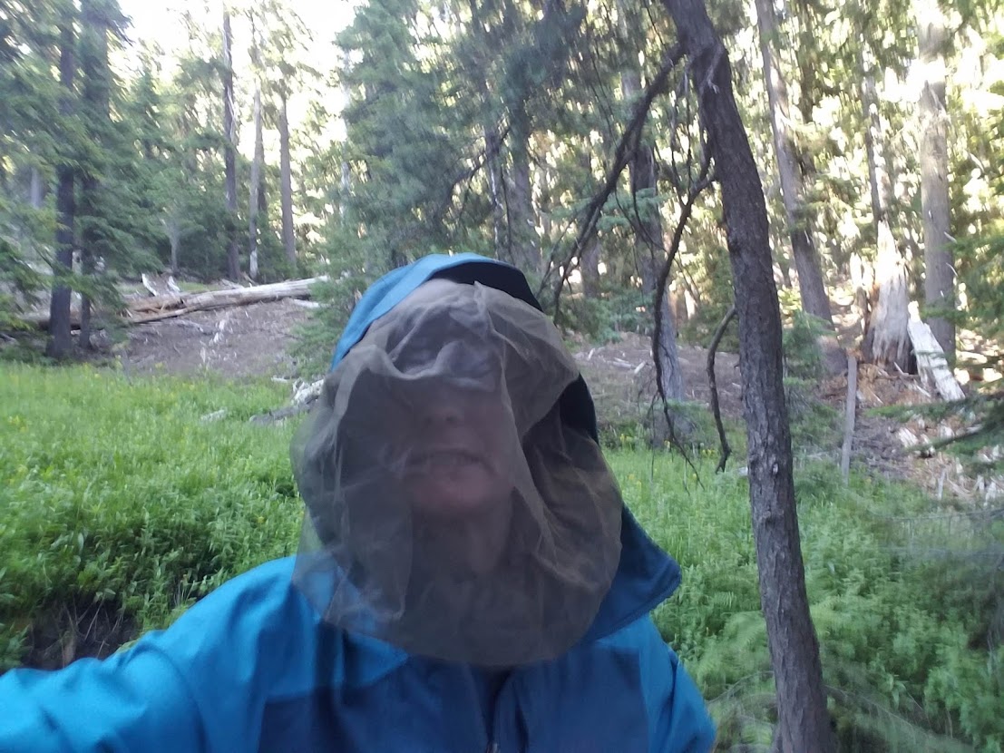
I set up my tent to snag the spot I wanted in case another hiker did come along, (no one did). I nearly started down the path to the spring with just my filter, but thought better of it at the last minute. I grabbed my mosquito net (an item I was thankful to get out of my resupply bag at Crater Lake), and thick rain jacket. Good thing, I was about to enter a mosquito city!
It was .5 miles of steep switchbacks down to the spring. I passed two ponds, that no one would want to drink from, but the Florida SOBO hiker told me to simply keep going and I would see a trickle of running water.
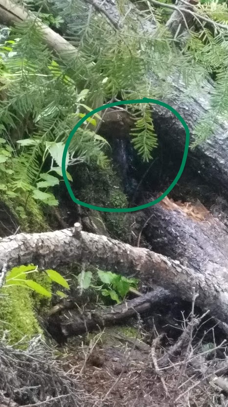
I geared up, the mosquitos were HORRIBLE; hundreds and hundreds swarming me. I filtered more water than I needed, but I knew there was NO WAY I would be coming back down here.
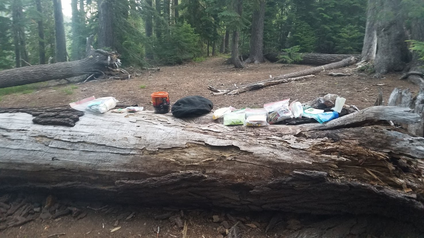
With full bottles, I made my way back to camp, which was fortunately far enough away from the spring I was never bothered by skeeters. The camp had great logs for sitting on, and I made a Pad Thai backpacker meal that I was pleasantly surprised by, bonus – it had carrots! My body was craving veggies.
I spent the evening trying to make a decision on which way I wanted to hike the next two days. The original plan was to veer off the PCT at Windigo Pass and take the Skyline Trail passing Crescent Lake, but I started considering just sticking to the PCT so I could pass Summit Lake and the Diamond Peak wilderness area.
There is comfort to staying on the trail, and seeing the familiar PCT signs, not to mention my handy dandy PCT app that let’s me know if I’m off the trail (like this morning). But, the Skyline trail is a shortcut that shaves off nearly 11 miles, and according to my book, a descent amount of elevation. It would allow me to arrive at Odell lake in two days at a decent hour to meet my parents with my resupply bag, and Carl and my little one for family time.
I decided I would stick to the original plan and take the shortcut. Again, my goal was to walk across the state of Oregon, and although I would do this nearly entirely on the PCT, I “allowed” myself to veer off when it made sense. I figured this was a section I could come back and do another time if I wanted.
This was my second night all alone on the trail. I didn’t love it, but I was getting used to it, and much better at disregarding any fears that would pop into my imagination. I was adding layers of bravery with each passing day.
Did you miss the beginning of my adventure? Start with Day One


Please Leave a Reply!