Day 29
Today’s Miles: 24.65
Total Miles: 314.90
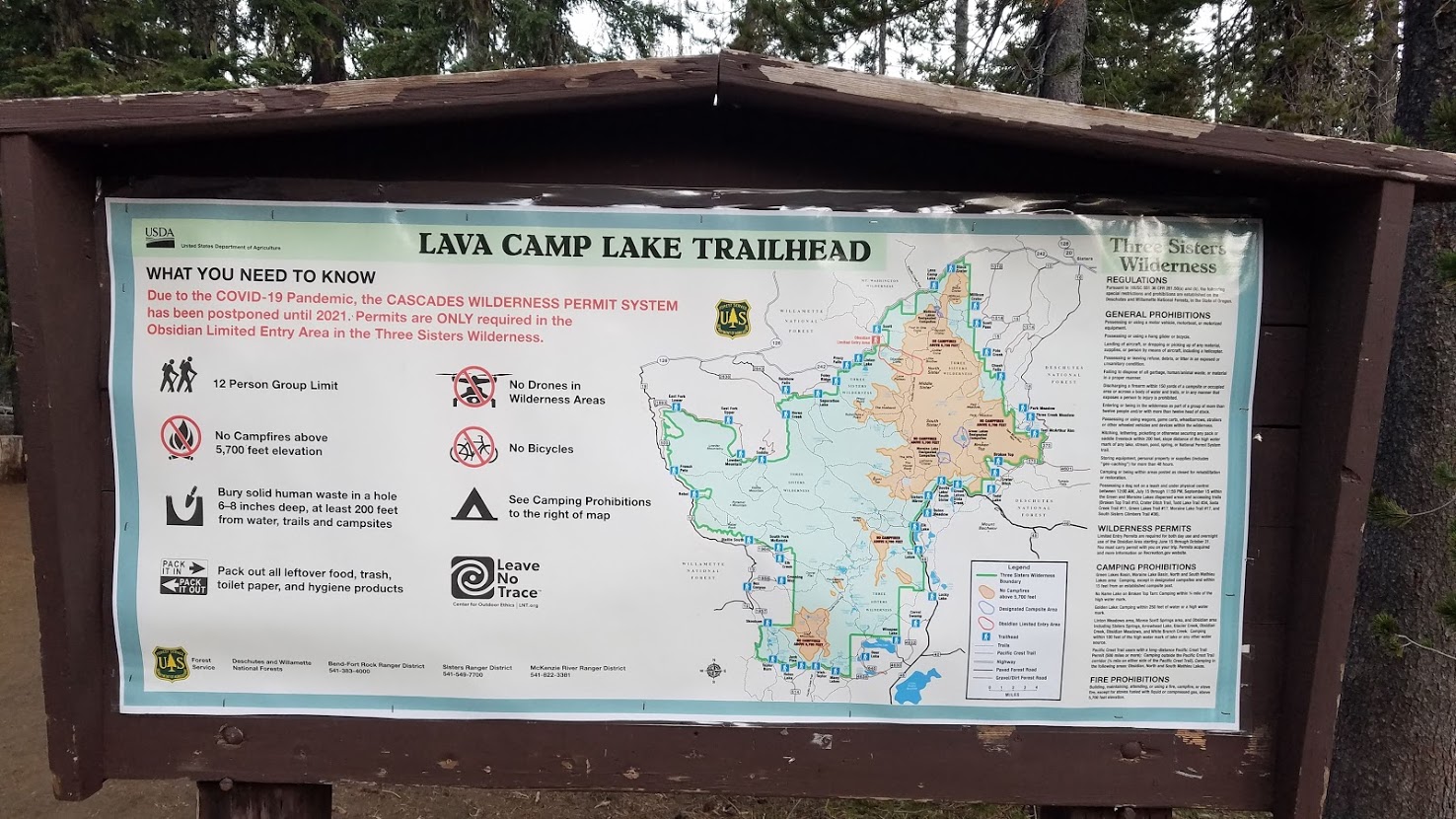
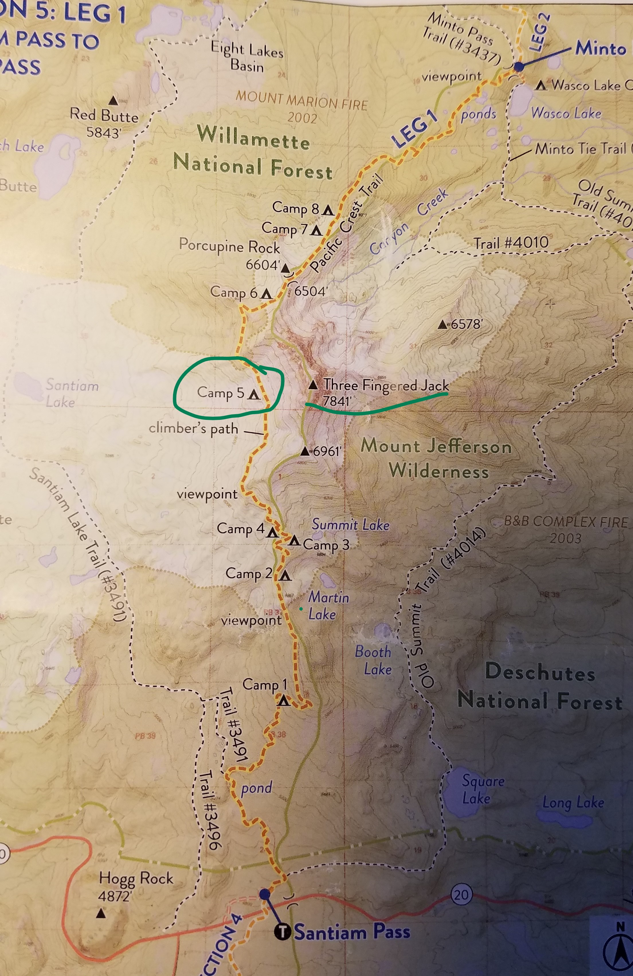
Lava Camp Lake Campground to Camp 5 – Base of Three Fingered Jack
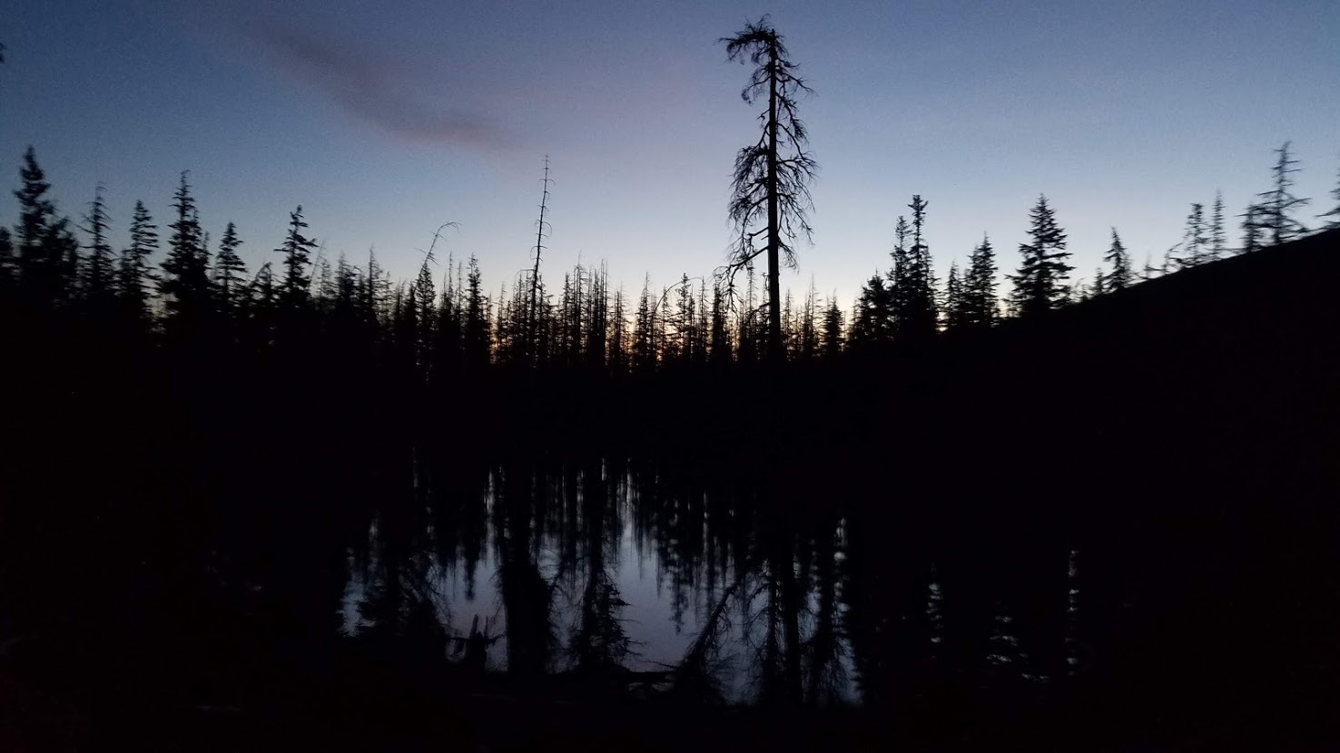
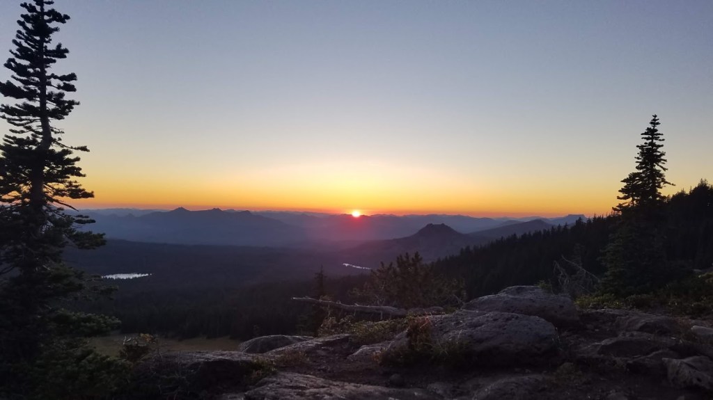
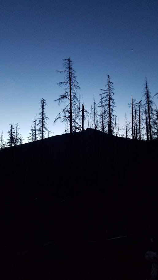
I considered setting an alarm for a moment last night for the first time, but trusted my internal clock. I was out of the tent by 5:20 a.m., greeted by the moon on the horizon, and the first inkling of daylight.
This was definitely the darkest morning for me yet. I made oatmeal, tea, and probably more noise than Carl wanted. I finished charging my phone, and filled water bottles to the brim.
I never got a proper goodbye with Hux since he unexpectedly crashed out last night, so I felt bad taking off so early, but Carl assured me (later in the day), he never even asked about me.
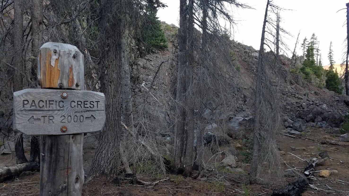
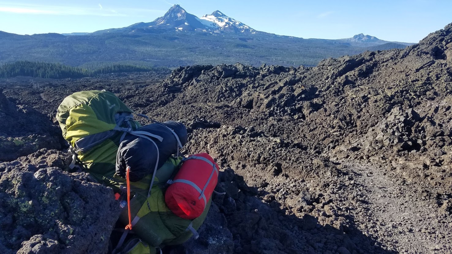
It was really cold, so I had all my layers on when I hit the trail at 6:30 a.m. My pack was heavy, but I was in good spirits, and I smiled wide when the first PCT sign of the day came into view. I was definitely pumped about the big leg ahead!
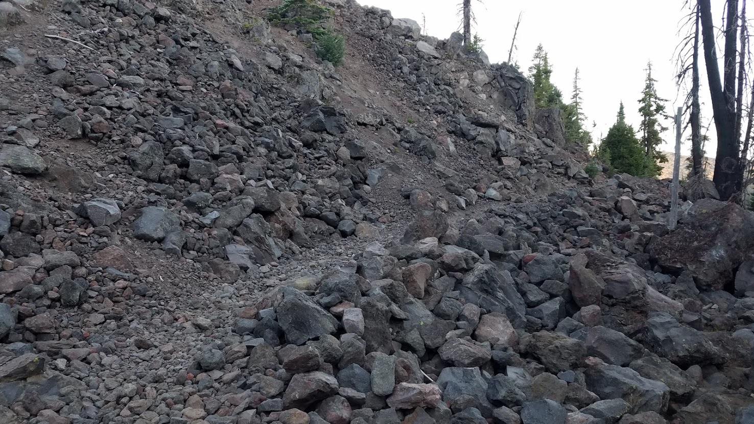
The trail was immediate rock, and I was careful with my footing from this point on. We considered buying trekking poles in Sisters yesterday, but I didn’t want to waste money. Thankfully, I never really needed them, especially considering I hadn’t used them up to this point, and I was used to hiking without them.
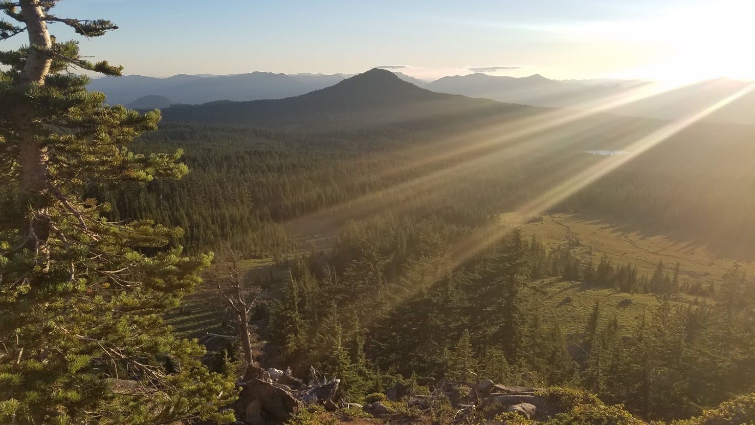
The morning was clear, and I could see mountains in every direction.

Before I even reached the McKenzie Hwy (OR 242), I was warmed up, and taking off layers. I needed to pee, but crossing a lava field offered very little opportunity for privacy, or ability to even get off the trail. So, I just quickly squatted right there on the PCT. Not something I’m proud of, but sometimes it’s urgent.
I was lucky, just 20 seconds later, a thru-hiker rounded the corner. I was actually amazed I had yet been caught in the act because privacy wasn’t always assured along the trail, but this was my closest call yet.

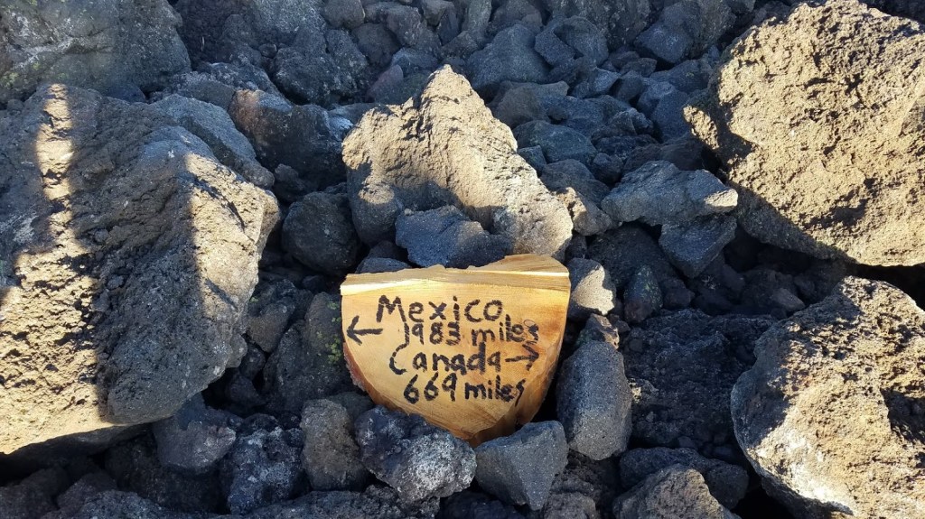
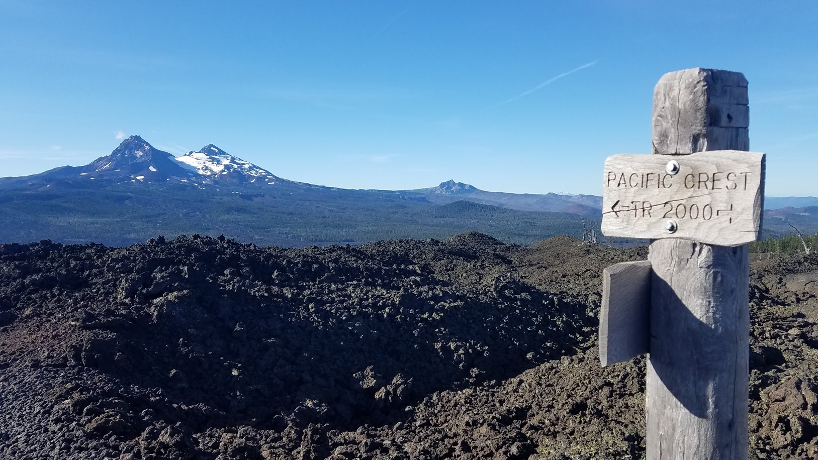
As I entered the lava flow on the other side of the highway, I passed a wooden handmade sign indicating PCT mileage. Sometimes I wished I was hiking the entire trail, but those thoughts were always quickly replaced by my happiness to be hiking all of Oregon – because that seemed like a gallant goal in itself.

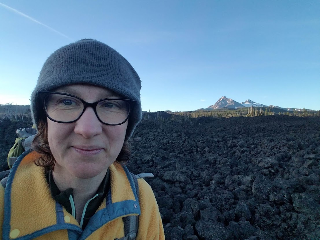
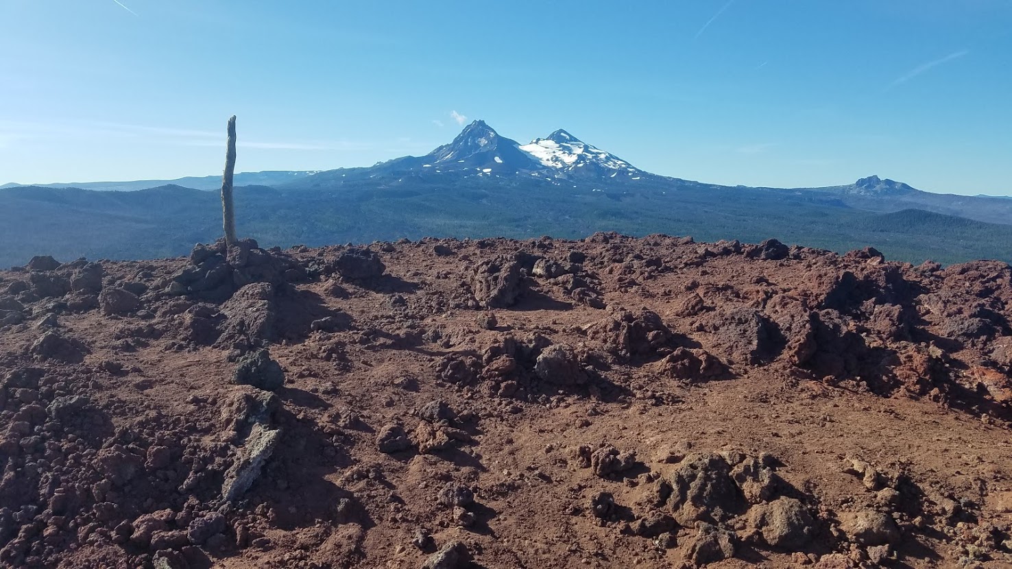
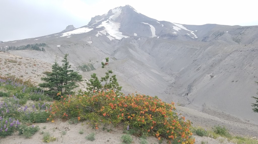
I entered the Mt. Washington wilderness, and could see the mountain ahead. It still looked so far away, but I would be up and around it by the end of the morning. In fact, I would traverse TWO mountains today, pretty wild! It’s like magic to watch your route on the horizon, and then see it behind you hours later.

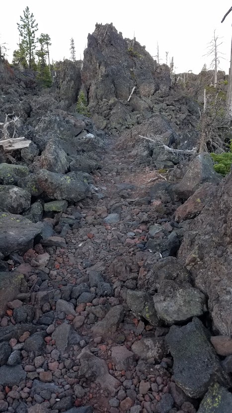
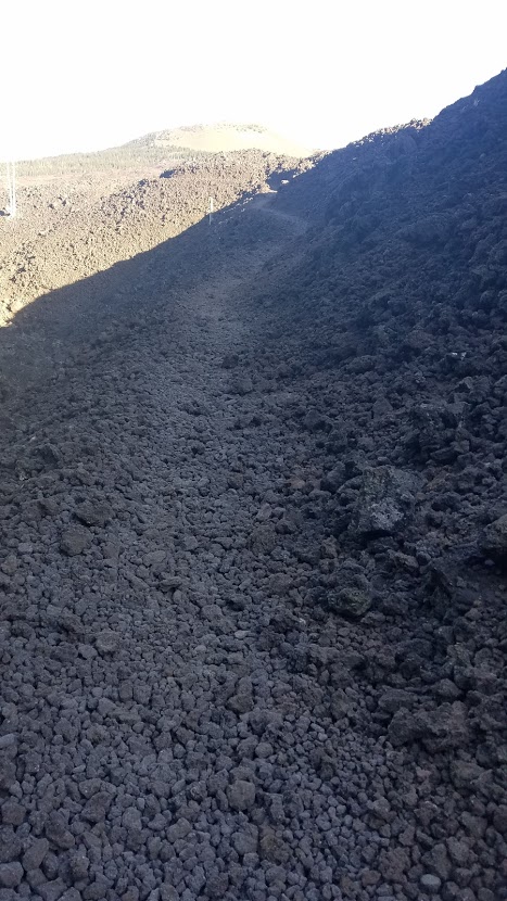
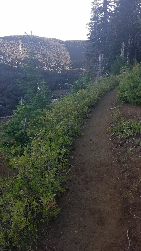
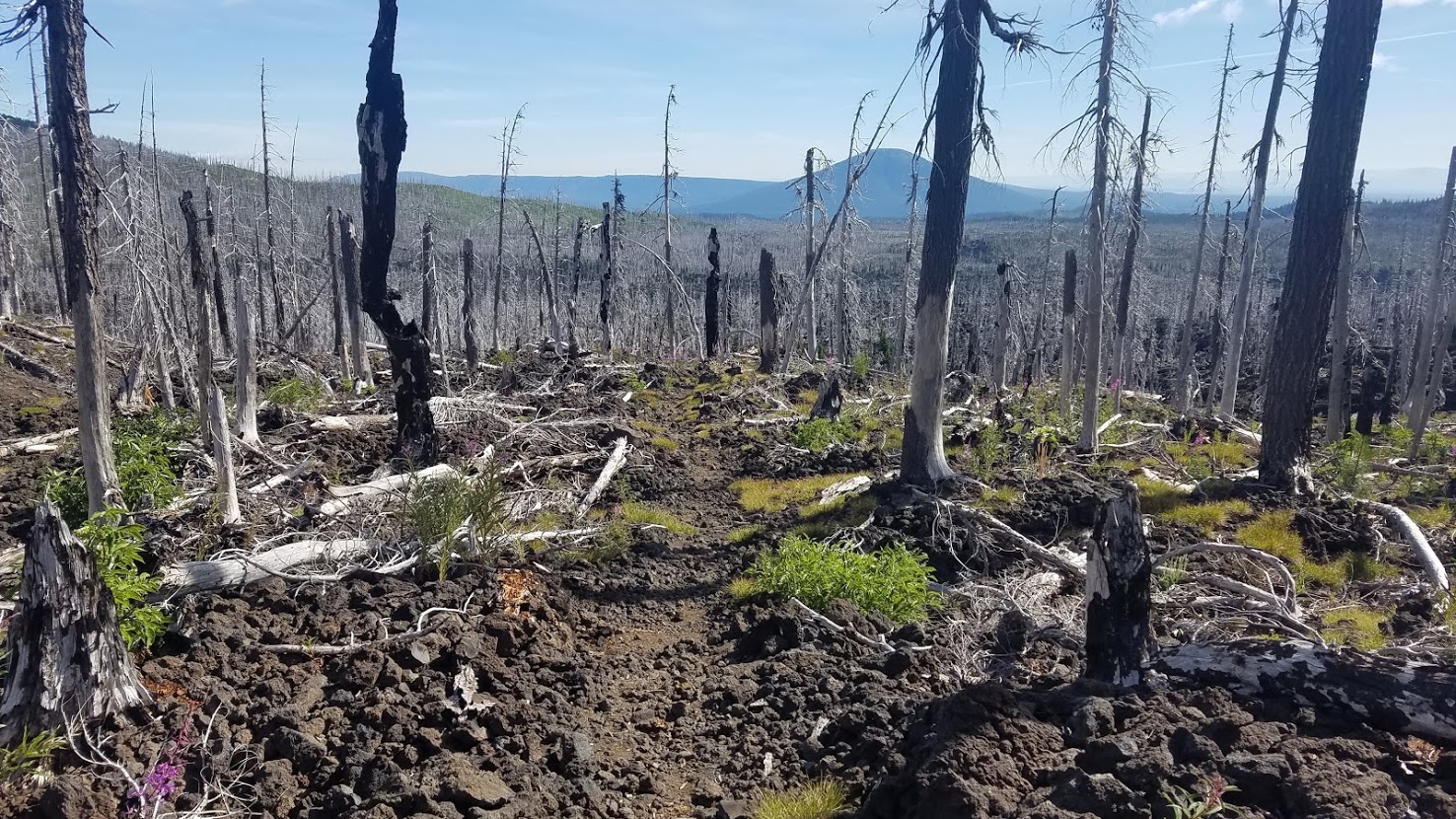
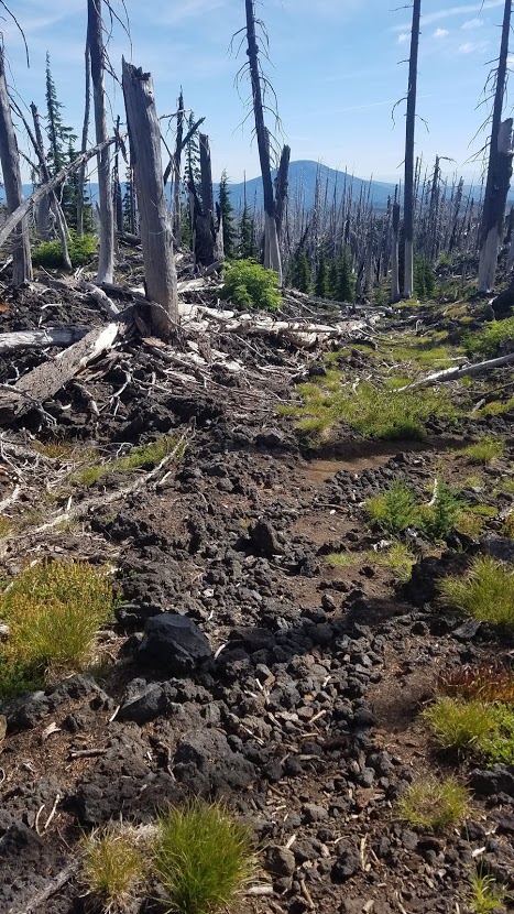
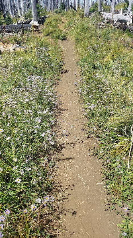
The next section of trail traveled through a couple little forest islands, perfect for pee breaks. The trail turned to dirt momentarily, providing a nice reprieve for my feet. Notice the different trail surfaces in the two photos below. One is significantly easier to walk on.


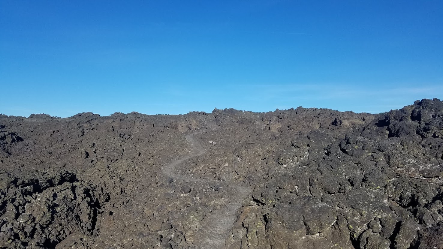
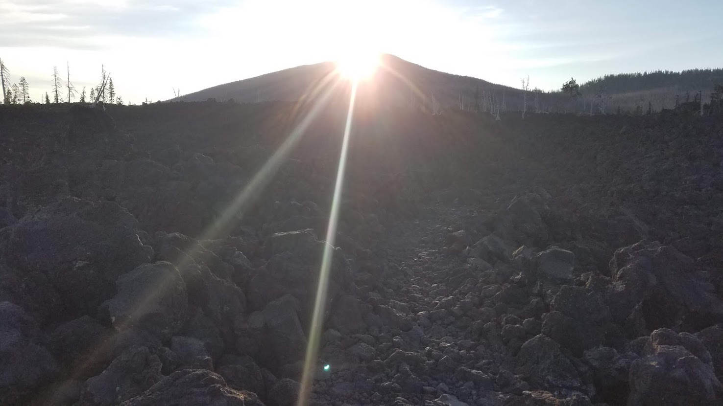
It was an easy ascent up Little Belknap, a relatively newer volcano. I decided to drop my pack and hike the .2 miles off trail to its summit.
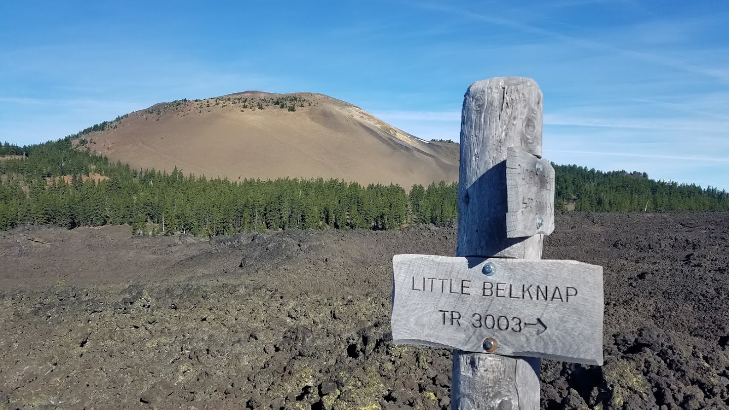
Adding mileage to my already huge day probably wasn’t the wisest of choices, but it was early, so I still felt great, and I knew there was a REALLY good chance I would never be here again, so I might as well; plus it was only .4 miles roundtrip.
There is something extremely satisfying in arriving at the top of anything, even if it’s just Little Belknap. Growing up in central Oregon, I’ve seen a lot of lava rock. I thought about hikers from around the world who may have never seen a sight like this, and how otherworldly it must be.

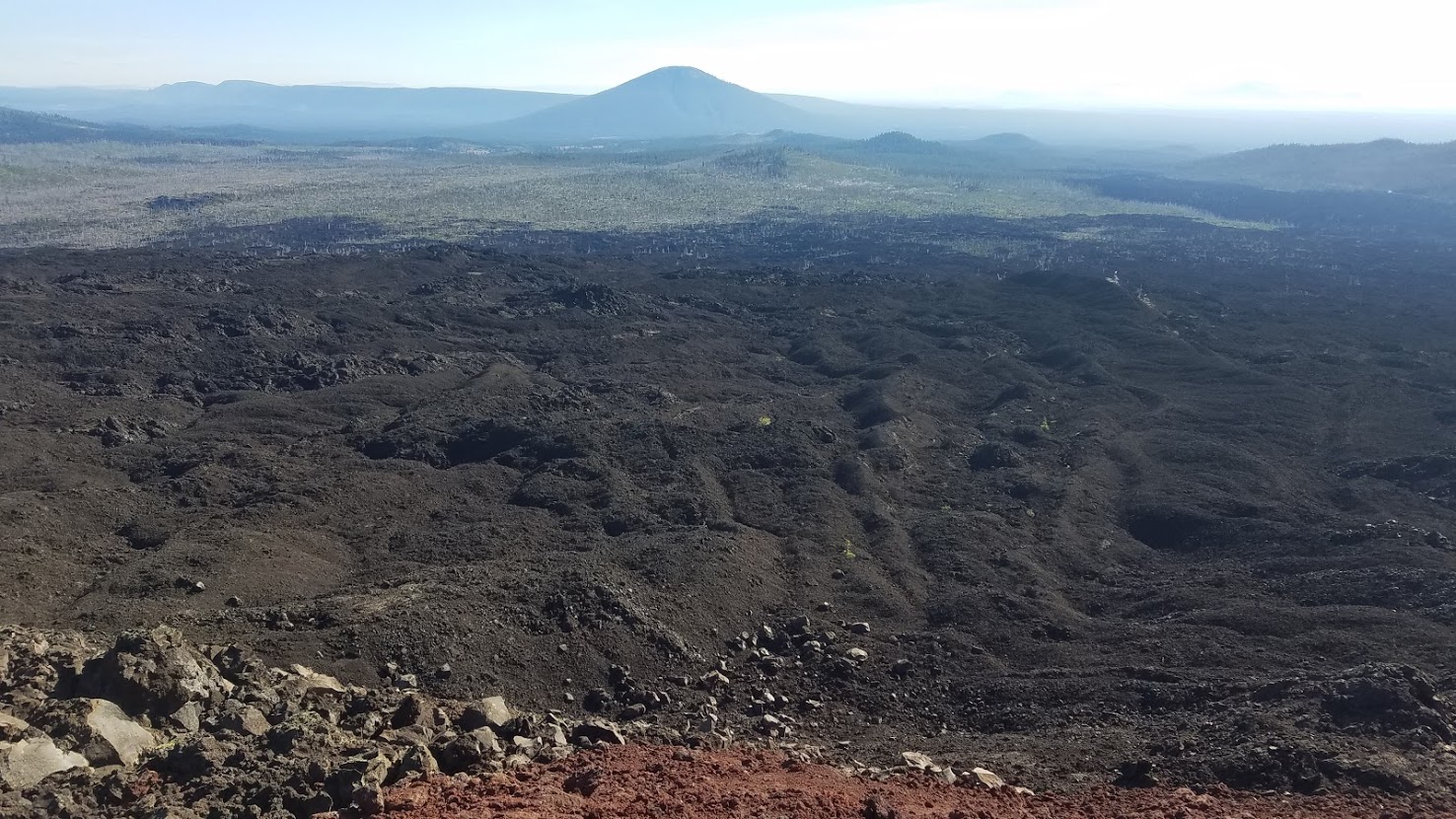
I loved seeing the lonely trees sprinkled here and there – they must have some amazing adaptations to live in this environment. I also saw some piles of horse poo, completely blown away that anyone would ride horses on this section of trail.


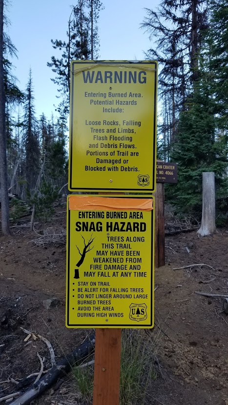
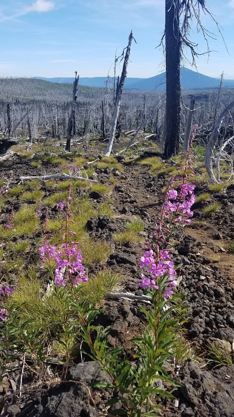
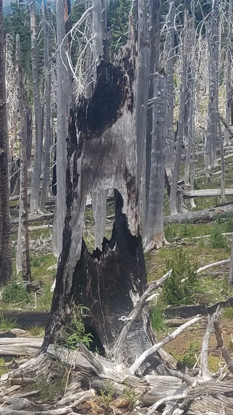
The field of lava flowed right into a burn section, the 2006 Cascade Crest Complex Fire. The trail was particularly tough for the first few miles with a mixture of cinders and lava rock, but then it gave way to dirt as I hiked the wide circuit around Mt. Washington. My feet were so happy to land on soft even ground!

The burnt forest offered views, and the wildflowers were pretty. Ready to take a break, I started looking for a log to sit on that wasn’t burnt. It took some time, but I found a spot off trail to rest my feet.


The trail ducked into live forest shortly after that, and with the sun now high in the sky, I was grateful for the shade. It didn’t take long to come to a beautiful meadow with a view of the other side of Mt. Washington.
This was also the 300-mile marker for the Oregon PCT! My mileage is higher because of my side trips, but crossing the “real” 300-mile point felt extremely momentous. I was 2/3 of the way through my trek!
I stopped for lunch a couple miles later. I took my socks and shoes off to let my feet breath, and ate my usual tuna wrap, but this time I had some cheese I grabbed from camp – so yummy!
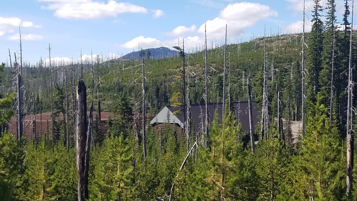
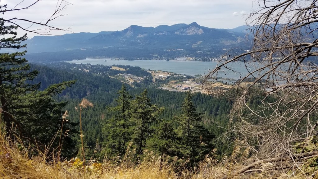
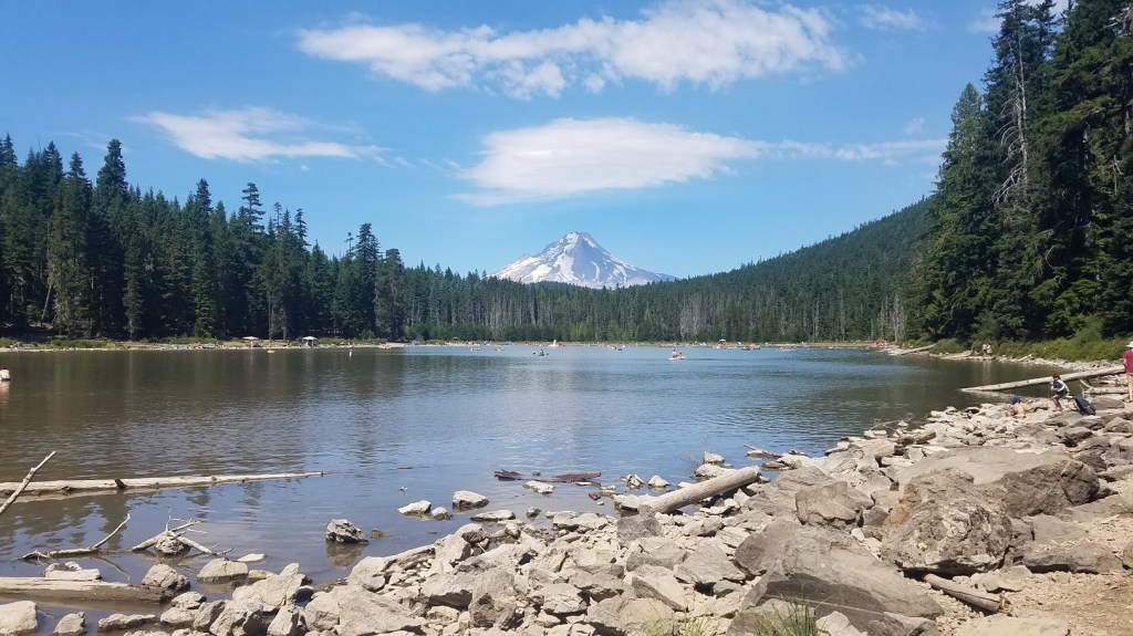
The next few hours were a trudge to get through. The day got hot, the trail was dusty with sparse shade, and there was more burnt forest. When I hiked past Big Lake, I could actually hear the activities on the lake, even though it appeared so far down.
We camped here on the other side of the lake just last year with friends, so it was fun to picture where I was on the Oregon map in my head, and see a new perspective of the area.

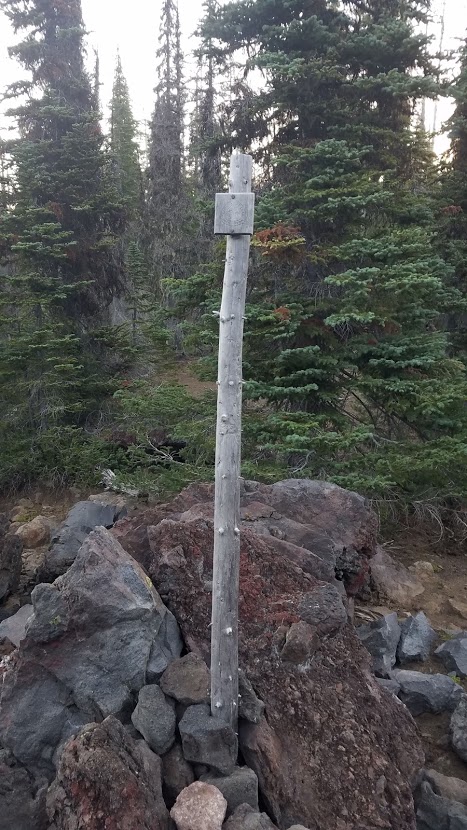
The following four miles crossed the Ray Benson Sno-Park and ATV / Motorcycle world. This was one of the most unpleasant stretches of trail through the entire state. The heat probably had me a tad grumpy, but it was so noisy with the various loud machines zooming by. To top it off, Lodge-Pole pine forest has never been my favorite scenery. The PCT trail signs were high in the air to account for winter snowfall.

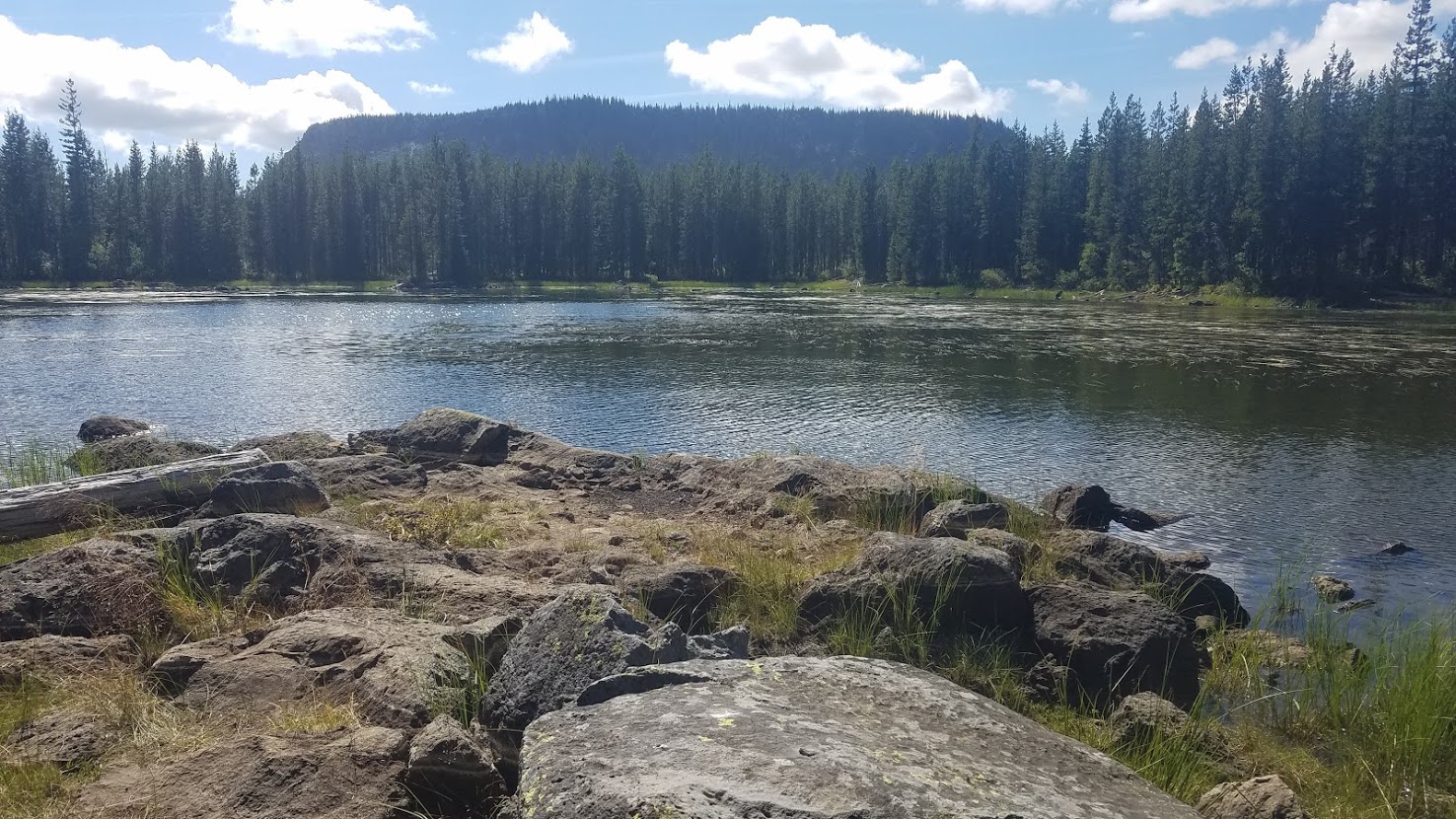
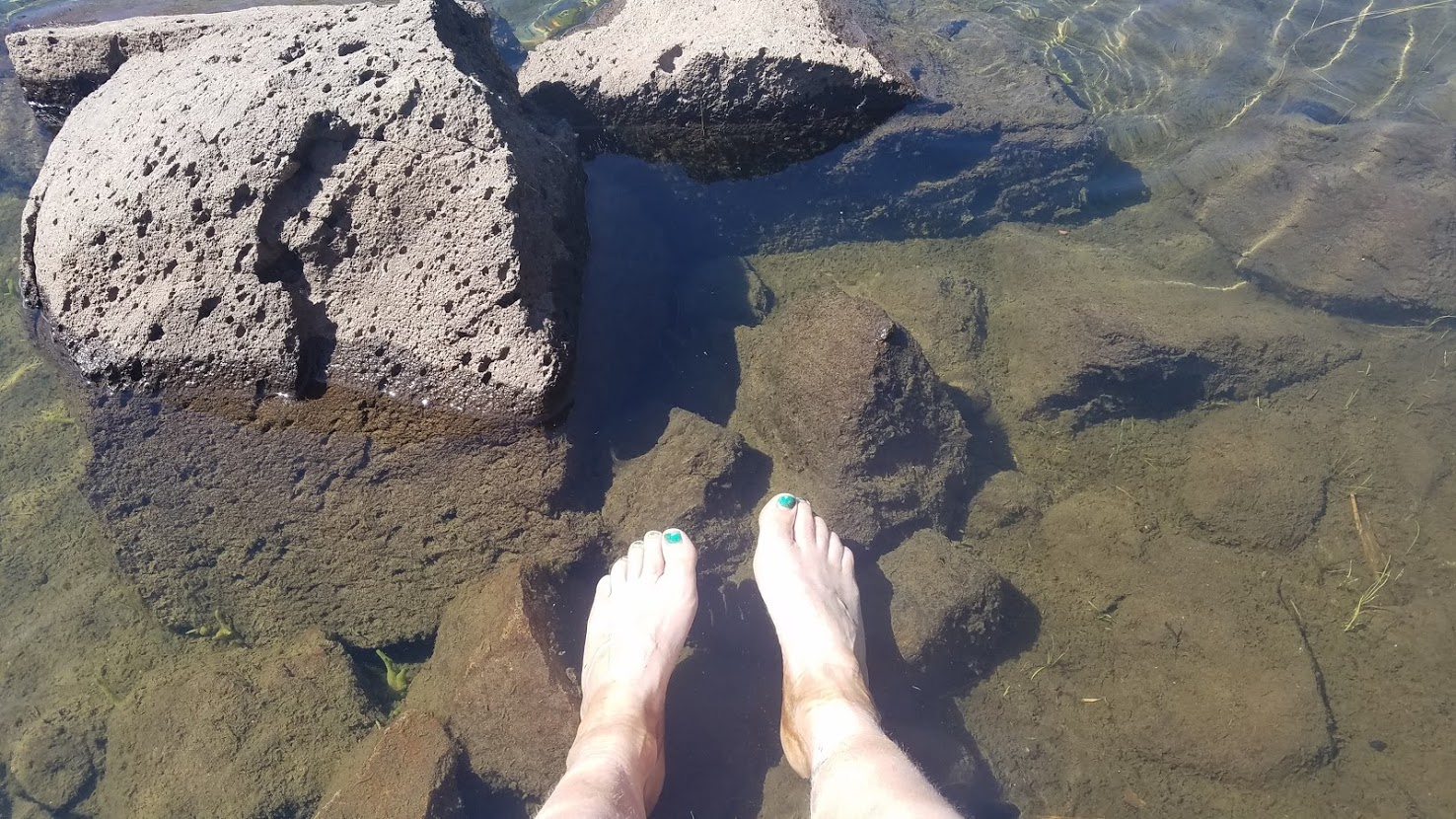
I was greeted by a lovely pond at the end of this section. My book describes it as shallow and sedimentary, but it was clear and fabulous when I arrived.
After filtering water, I soaked my feet for awhile. This was my last water source for the day, so I needed to plan accordingly, but I was ready to be a little “risky” with my water. It’s heavy, and I have carried too much at times. I’ve watched thru-hikers carry tiny little bottles, and I figured there was some sort of middle ground I should strive for.
While relaxing, I met a man hiking all of Oregon as well, but going SOBO, so he was just getting started. When we parted ways he said, “Well, I’m back to walking. That’s pretty much what we do all day long; walk, and walk, and walk.” I smiled replying, “Yup!”
I wanted to soak my feet for hours, but I still had 8 miles to go in my day. Yes, I could have stopped sooner, but I have a thing about camping in the best possible spots available, and I had my sights set on a particular location that sounded really cool. Plus, I knew the more I hiked today, the less I would have to tackle tomorrow to meet Michelle.
Leaving the pond, I saw a thru-hiker hunched over bushes, stuffing berries into her mouth. She said, “Huckleberries” as I approached. This is when the great berry debate began, and would continue through the rest of Oregon.
I grew up eating the tiny red huckleberries. I have never known a huckleberry to be blue. In my mind, these berries must be poisonous. I tell the woman I don’t think they are Huckleberries, and she responds, “Well, I googled pictures, and it seems like they are, plus they taste WAY to good not to be edible.”
Since I’m a little bit of an anxious person, eating berries I’m not 100% certain about makes me SUPER nervous. But, I hiked by another thru-hiker eating handfuls of the same berries. He tells me they are Mountain Blueberry.
I decide to try one, and they are really tasty. I ate a handful, but I was still cautious. Additionally, I didn’t boil my water from the pond, so that’s a double whammy on my nerves.
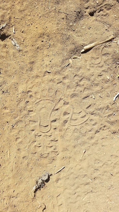
This section also offered me all the answers I needed from my trail print friend. I must have been hiking closely to someone with the print, because it was very clear now that it was part of the sole of a shoe. The mystery was solved. I followed this shoe for the next few days.
Arriving at the Santiam Hwy (US 20 / OR 126) was pretty exciting. That meant I already hiked 19.1 miles, and getting to Santiam Pass felt like a huge accomplishment. This was the road we drove on yesterday in our big loop when I noticed the PCT trail sign. The blueberry man was trying to hitch a ride to Sisters, but it was a tricky location. The highway was very busy with fast moving cars.
Once safely on the other side, I took the short side trail to the parking area and used a really gross porta, (I would have been better off ducking into the trees). It was Saturday, so the car lot was packed. This was a popular trailhead to access the Jefferson Wilderness Loop.
I sat in the shade for 30 minutes, and celebrated with a snack and checking in with people (I had cell service). I shared my 300-mile marker news with all my favorites back home. I was proud I made it more than 2/3 of the way, and I knew I had a great shot at finishing the state of Oregon.
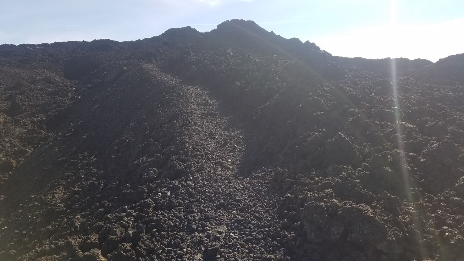
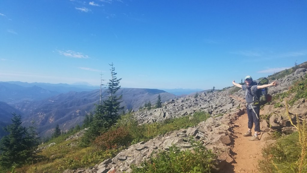
Look how close I am to the top.
With 5.7 more miles to hike, I left the trailhead at 4:50 p.m. immediately entering burnt forest from the 2003 B&B Complex Fire. There was very little shade as I began my ascent of Three Fingered Jack. Of course, I would encounter a major uphill for the end of my day when I was tired, wanted to go fast, and now racing the sun.
It was pretty cool to think about hiking over two mountains in one day! However, at this point I was tired, my feet were very achy, and I went into my “just gotta get there,” mode with one step in front of the other. The sun was low on the horizon, so I felt an urgency to beat the clock, which turns the joy of hiking into stressful exercise.
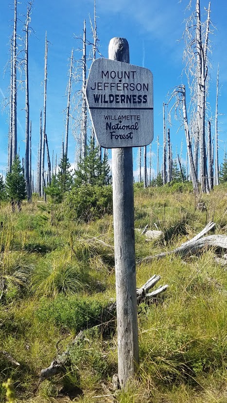

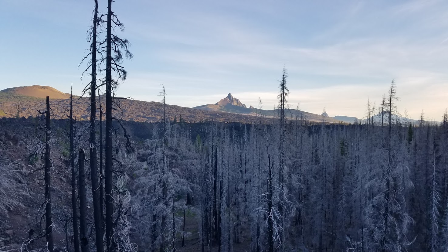
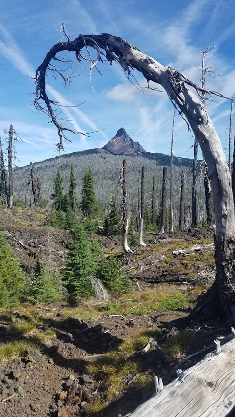
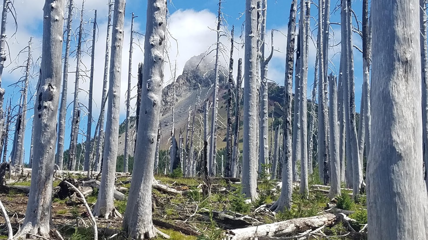
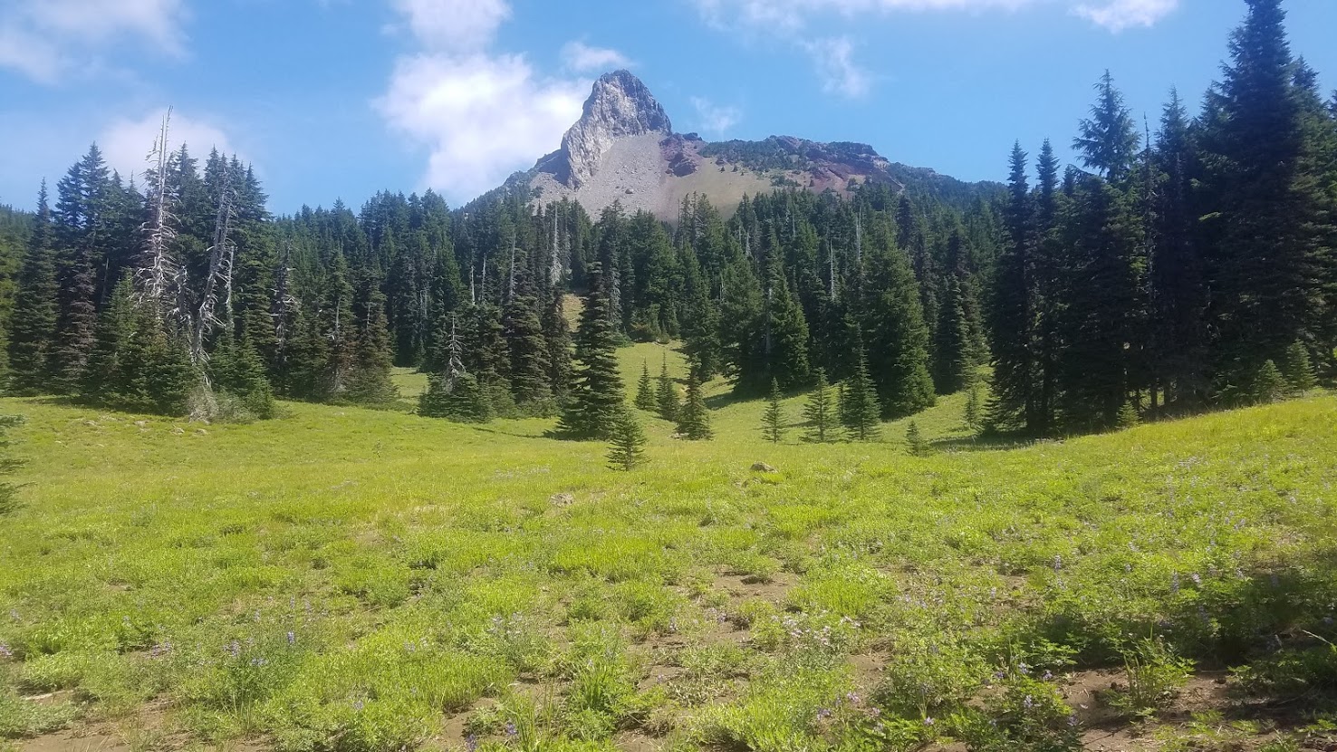
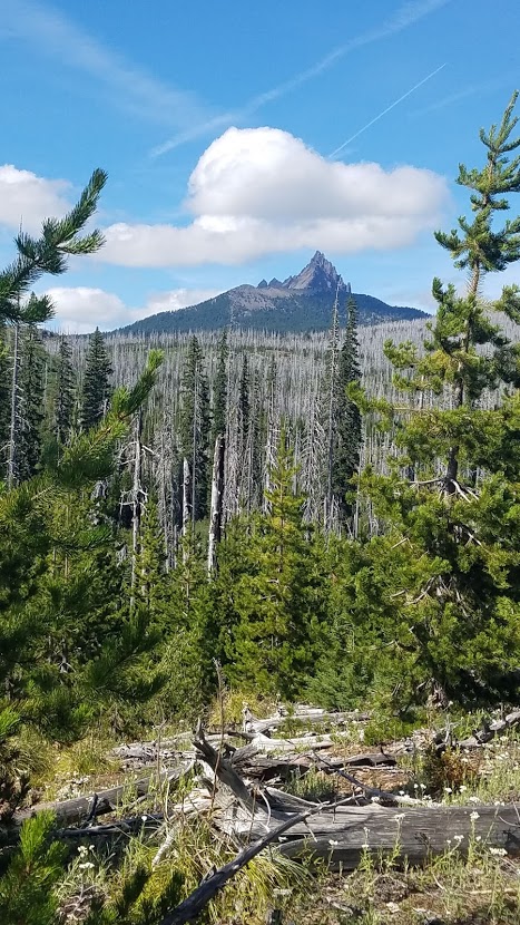
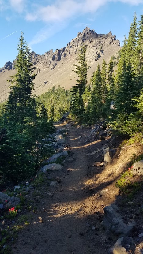
The views were expansive, with Mt. Washington behind me. It now looked so far away. The burnt forest gave way to woods, which made it dark. I was anxious to get to what my book calls, “Camp 5.” I passed a group of climbers, adorning gear complete with helmets. Three Fingered Jack is a popular rock climbing summit.

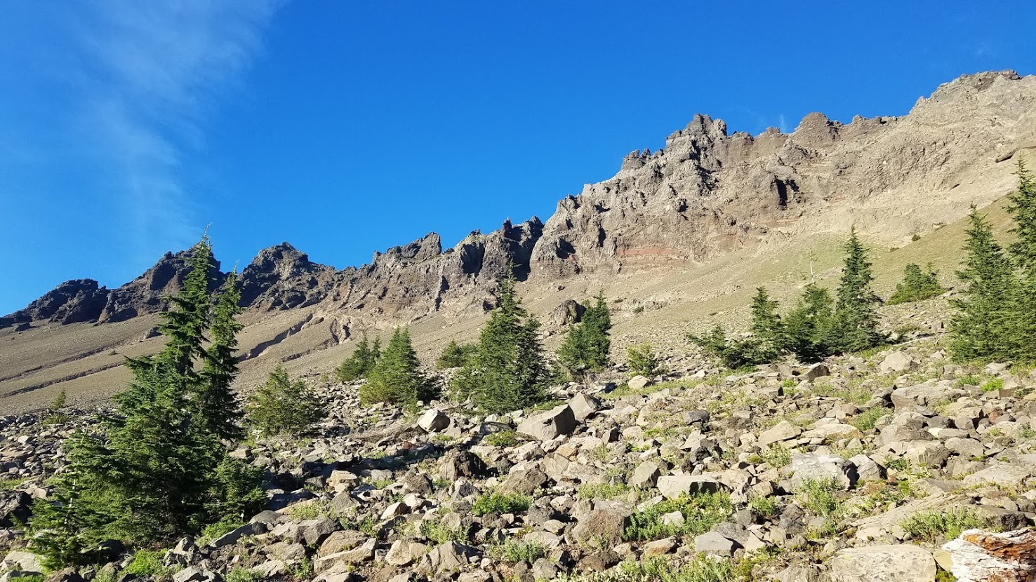
Then I got BIG views of Three Fingered Jack (which has more than 3 “fingers,” by the way). I was right at the base, so this vantage point was spectacular, definitely one of my favorite sections of Oregon.

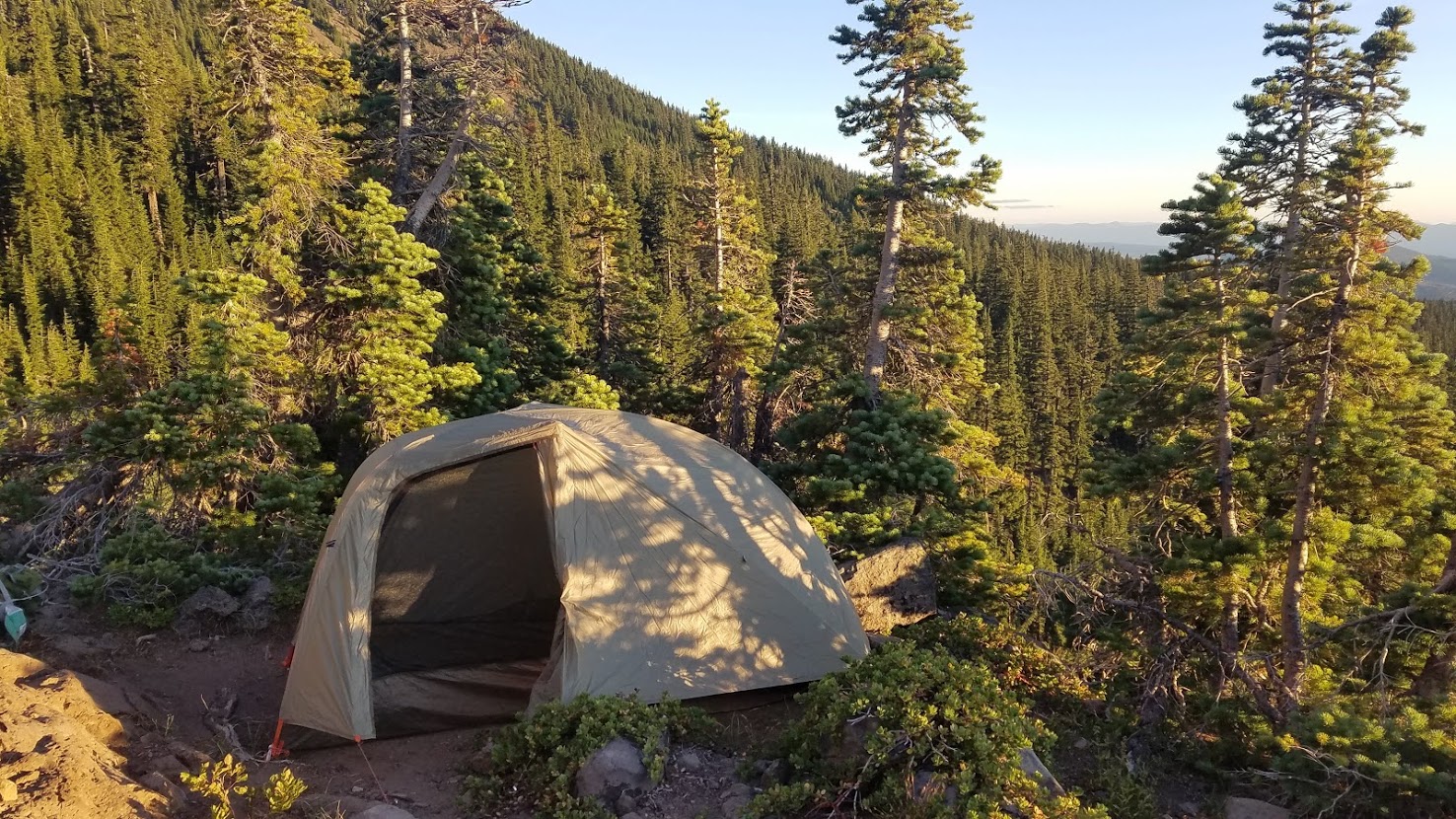
When I rolled into camp, it was nothing like what I had pictured in my mind all day – it was SO MUCH BETTER! I was beyond thrilled to see my final destination, arriving at 7:30 p.m. with some daylight to spare. It wasn’t a very large area, so I was lucky there were still a couple tent spots available.
Two men were already set up. I didn’t ask to join this time, I simply announced I was here, and would be sharing the space with them. Thankfully, they were extremely friendly, and showed me a couple tent location options.
They both taught at Mountain View High School in Bend, my alma mater! When they found out I graduated in 1996, the track and field coach asked me if I knew John Nosler.
“Of course,” I said with a smile, everyone knew John Nosler. He was an all seasons sports star, and class President of our school the year we graduated. Apparently, John still holds some track & field records. Pretty funny, and such a small world.
Before I got settled, the teachers pointed out 3 mountain goats traversing around Three Fingered Jack. Their white fur stuck out against the brown mountain. I honestly wouldn’t have noticed them if I had been alone, so I was thankful my camp mates had spotted them, because it was a pretty special thing to see. Our guess was a mom, dad and a juvenile, because one was quite a bit smaller, but I don’t know for sure.


The camp was a piece of land jetted off the side of the mountain. We would all be doomed if the big one hit (earthquake), but we had the very best view imaginable. Three Fingered Jack rose majestically to the east hovering over us, and the west offered panoramic views for hundreds of miles off to the distance. This location was top 3 camping spots in all of Oregon, definitely worth the extra effort today.
I chose the tent pad that was closest to the tip of the edge because it provided a little privacy from the men, although it was a tad spooky. My tent barely fit in the space (good thing I now had my 1-person tent).


With only a little water left, I had a dinner plan that didn’t require any, so that worked out. I had to hike 7.8 miles tomorrow to get to water, so I rationed.
I watched the sky change brilliant colors while I ate dinner. It was one of the most beautiful sunsets on the trail. I had cell service, so I was able to let everyone know I made it, most importantly, Michelle. I told her I was in good shape to see her tomorrow evening.


I got cozy in my tent, absolutely exhausted, but I kept popping my head out to watch the sky. I was beyond proud of myself. I accomplished a really big hiking day (nearly 25 miles), crossing tough terrain, climbed over and around two mountains, and kept it together mentally (for the most part).

This was the hiking day I was most nervous about, yet it wasn’t nearly as bad as I pictured in my mind. I started to realize I could hike anything in Oregon, and I shouldn’t let my book get in my head too much.

I was humbled by the intense beauty and massiveness surrounding me, and overwhelmed, once again, with an appreciation for this journey I was on. At some point, I fell asleep.

Did you miss the beginning of my Oregon PCT journey? Begin with Day 1: Here


Please Leave a Reply!