Day 32
Today’s Miles: 13
Total Miles: 355.6
Jefferson Park to Olallie Lake
Michelle and I took our time with the morning routine. Neither of us really wanted to leave Jefferson Park, but we had some miles to get in, and the promise of a fresh homecooked meal at the end of our day. Carl, Hux, and a good friend would be meeting us at Olallie Campground to resupply the rest of our leg, and treat us to company and yummy food.
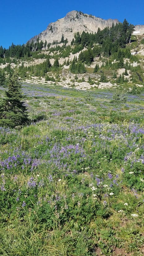
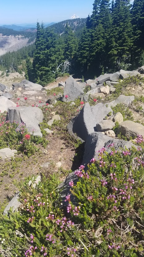
We made our way out of Jefferson Park, hiking by more lakes, checking out campsites for future visits, and talking about the logistics of bringing the whole family next time, (children and all).


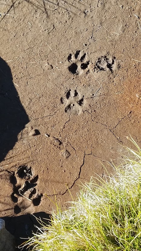
We came across the impressive scat and prints below early in the morning. We guessed bear for the scat, but I’m not an expert. Please let me know in the comments if you can identify either.

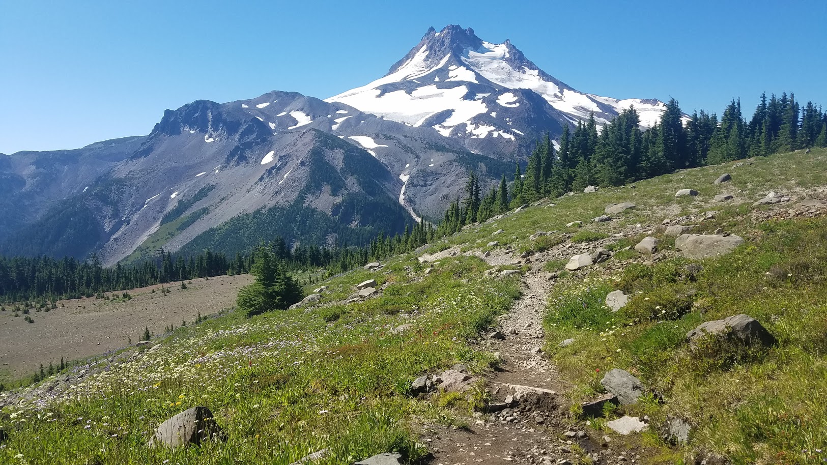
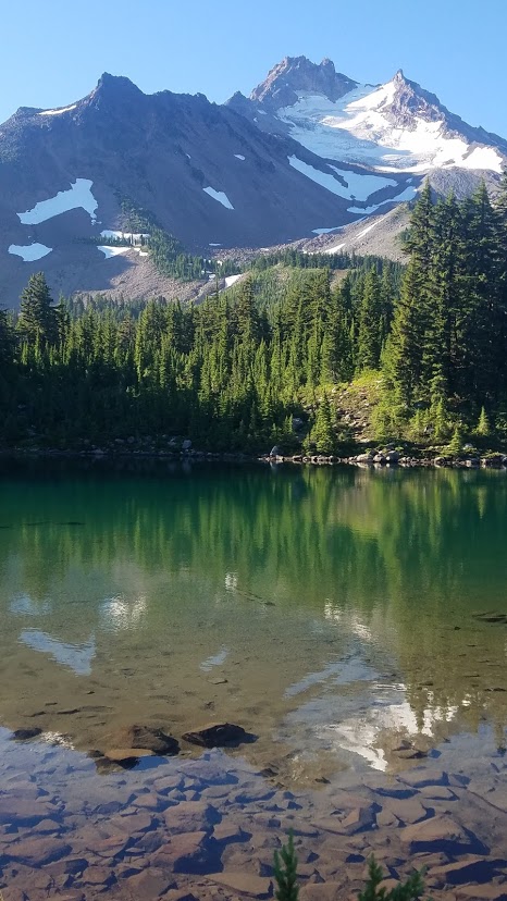
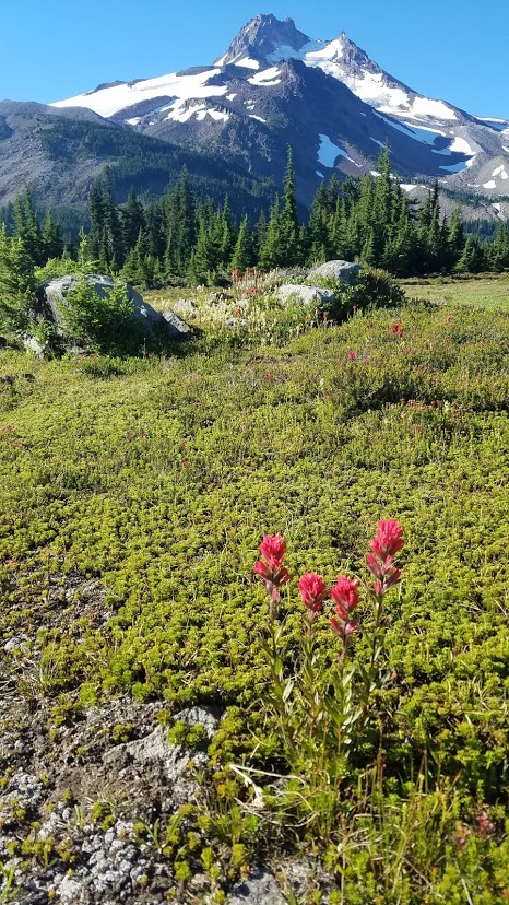
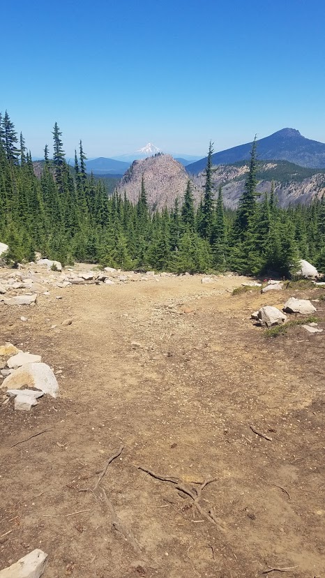
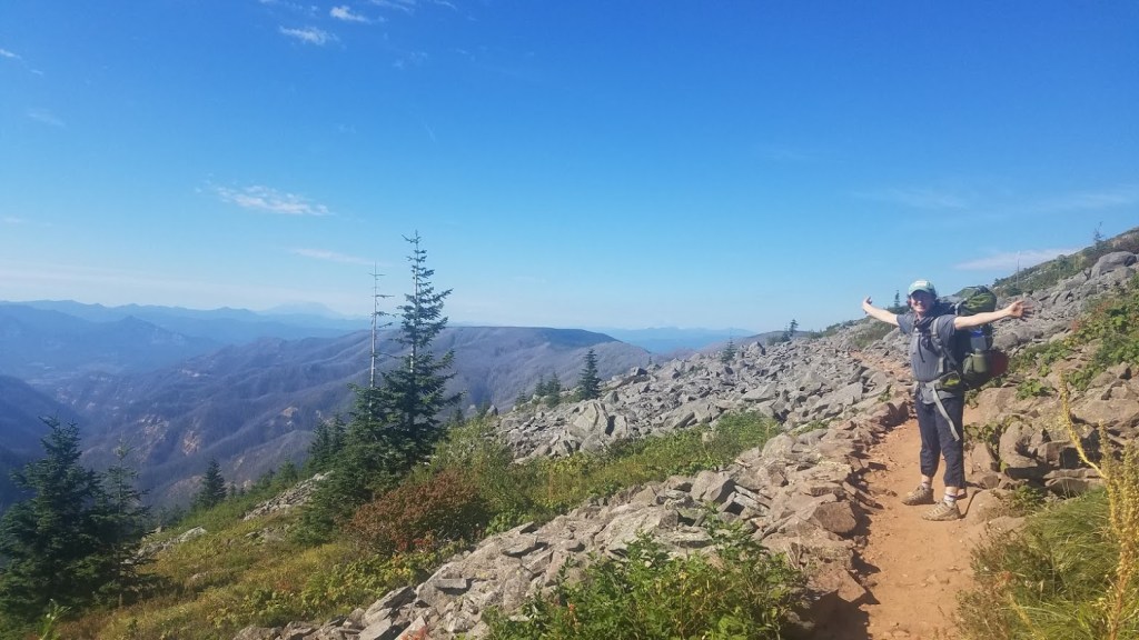
I took a gazillion scenery pictures as well. Mount Jefferson is absolutely stunning from all sides. Accompany the mountain backdrop with sweeping meadows filled with wildflowers – it’s truly magical. My face hurt from smiling ear to ear all morning, overjoyed with the beauty around me.

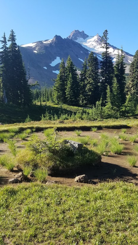
As I’ve mentioned before, I rarely want to visit a location twice because of my desire to see it all, but…Jefferson Park would be an exception. I’ll just have to wait a few years for the fire restoration, and the reopening of trails. I have no doubt the wildflowers will be spectacular.


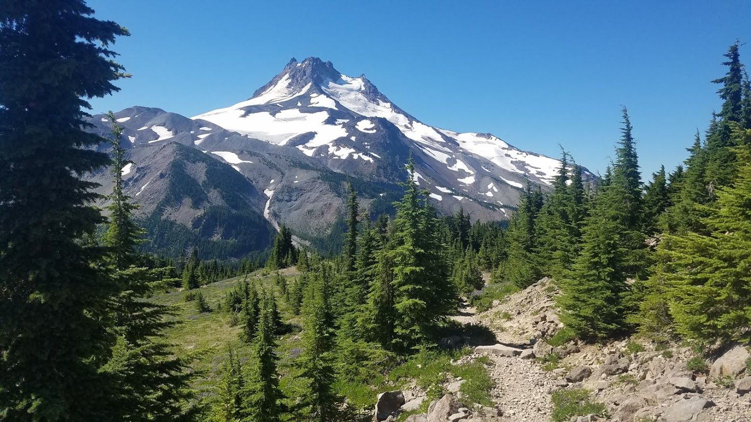
The assent out of the park was a doozy, but I’ve never enjoyed an uphill climb more. The mountain was behind us, so I had to keep turning my head around for just one more look. Hiking south next time would be a fun option.


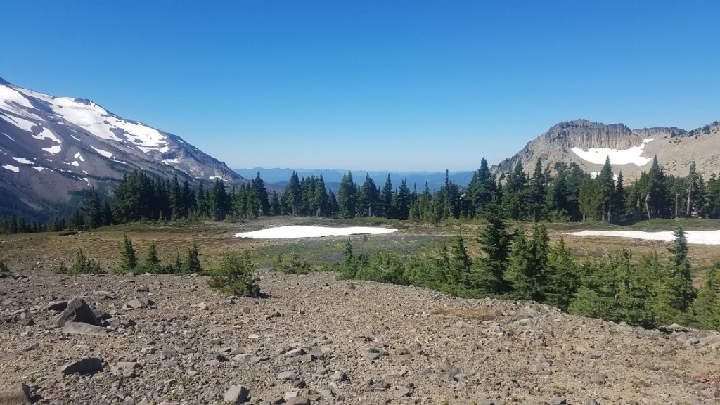
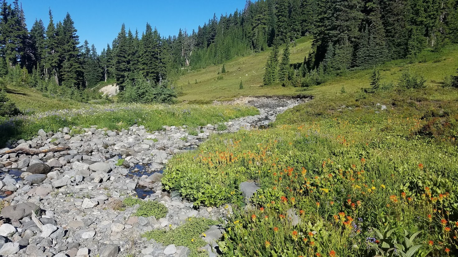
Park Butte to the left of us was impressive as well, and I absolutely loved all the little creeks crossing the trail.


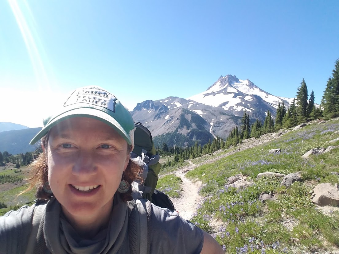
We made it near the top, and took a proper rest. I thought we had a view, but we should have held out for another 20-30 minutes, because my very favorite sight of the ENTIRE state of Oregon was waiting for us.

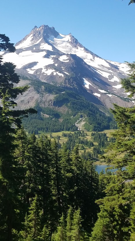
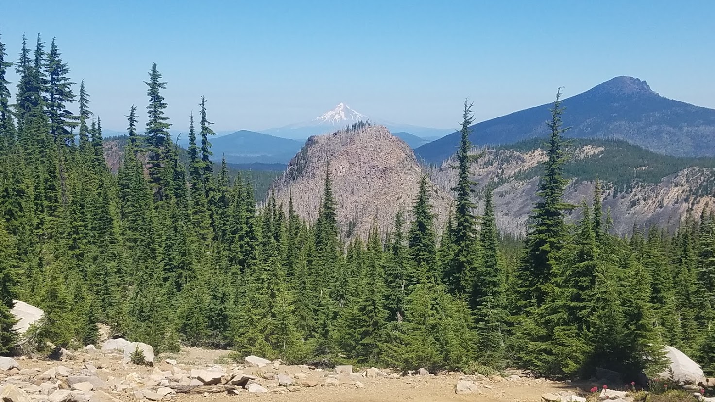
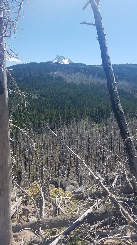
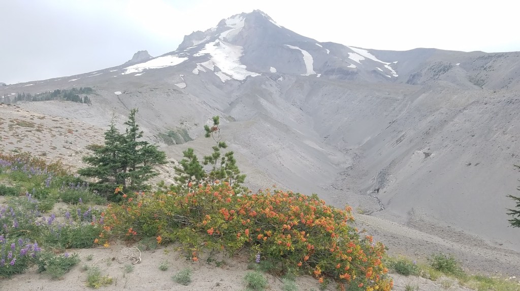
At the true “top” of the divide, magnificent Mount Jefferson was behind us with a panoramic view of Jefferson Park below, and in front of us was a large swath of exposed moonscape with Mt. Hood far off in the distance.
I could barely see the mountain, yet that was home, and my finish line was just on the other side.
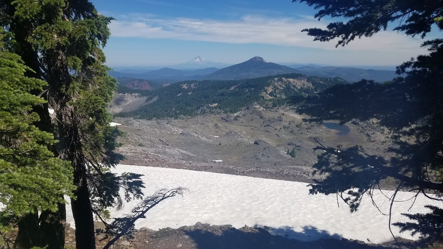
I got a little teary-eyed seeing Mt. Hood. I felt so tiny in this massive landscape. Also, I couldn’t believe I had that far to go because it truly looked weeks away. At the same time, seeing it made me feel like the end was near because I knew by now how quickly those mountains on the horizon draw closer.


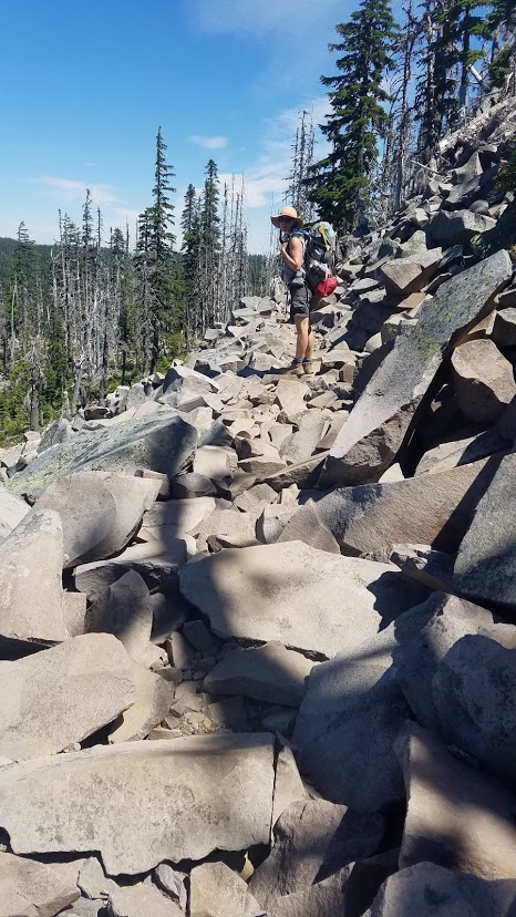
We made our way down over the lava field and patches of snow. I hiked over the snow slowly, since it was more like sheets of ice. Michelle cruised swiftly over them, but I was more unsure of my footing.


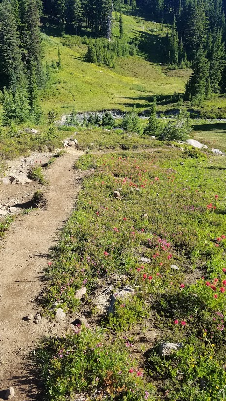
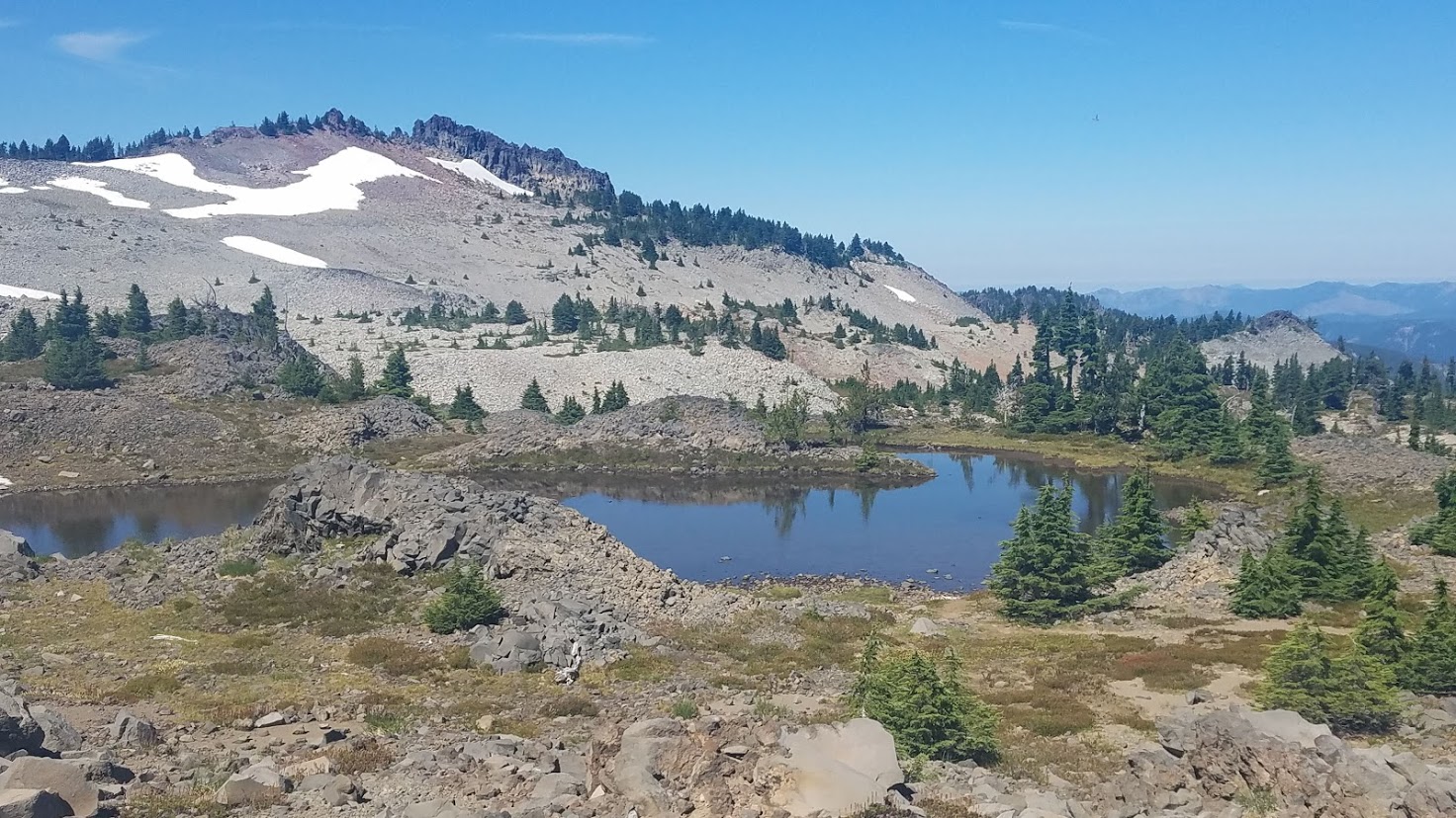
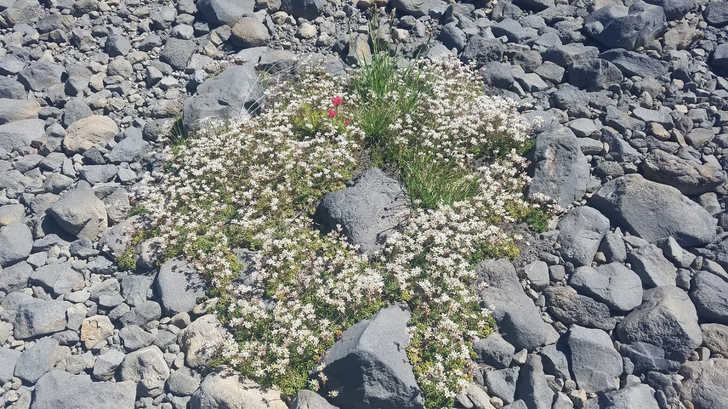
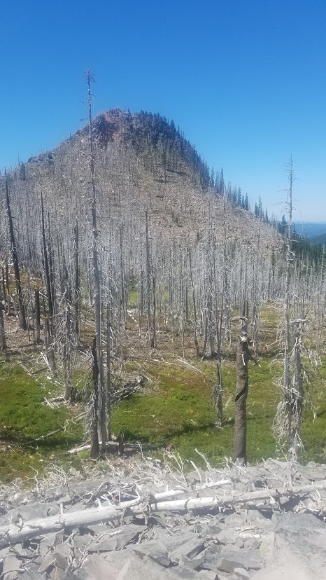
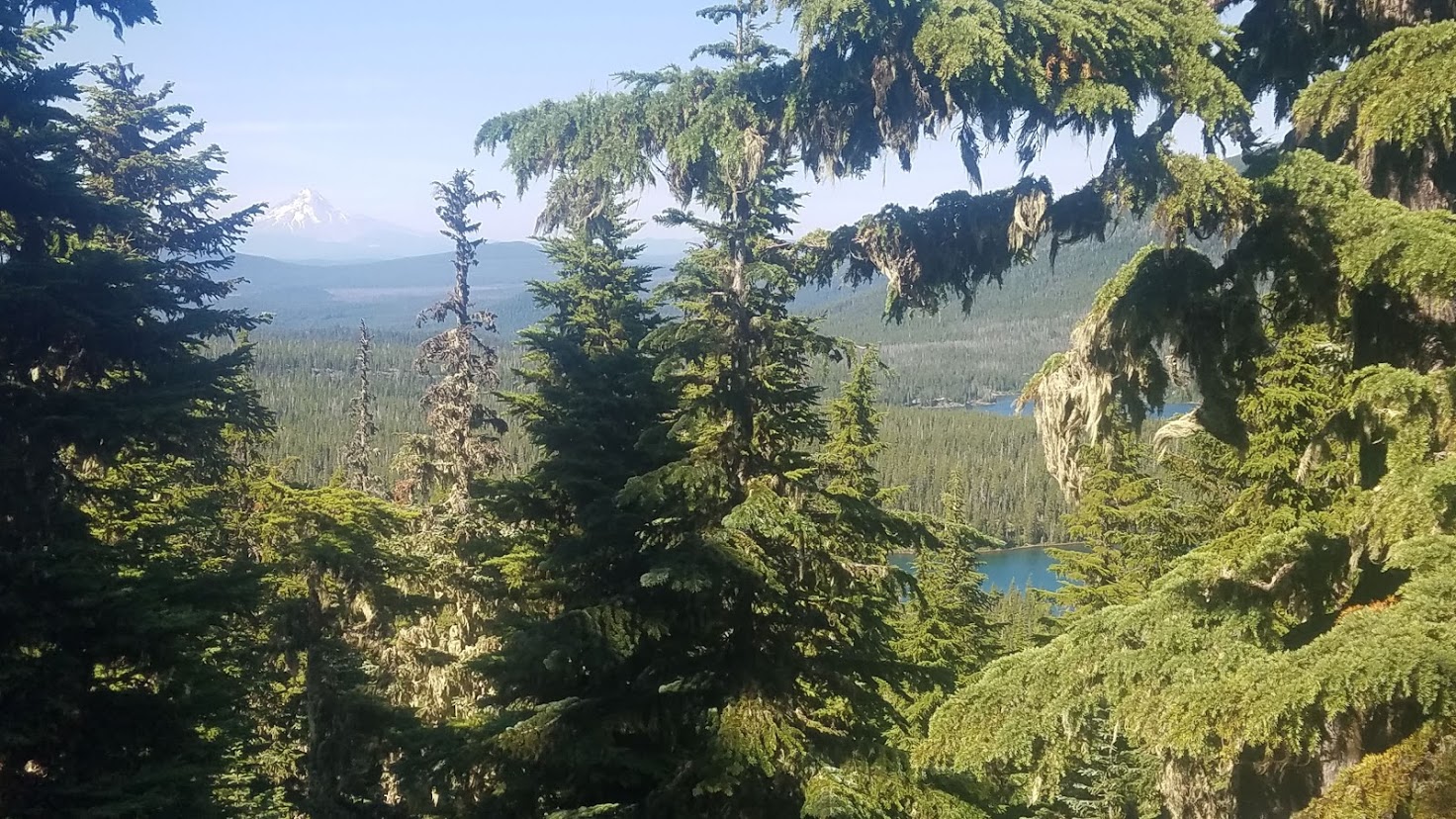
And just like that, we said farewell to Mount Jefferson, and began our journey toward the next Cascade mountain. We hiked by several small ponds, bountiful Heather lining the trail, and more burn sections to slog through.

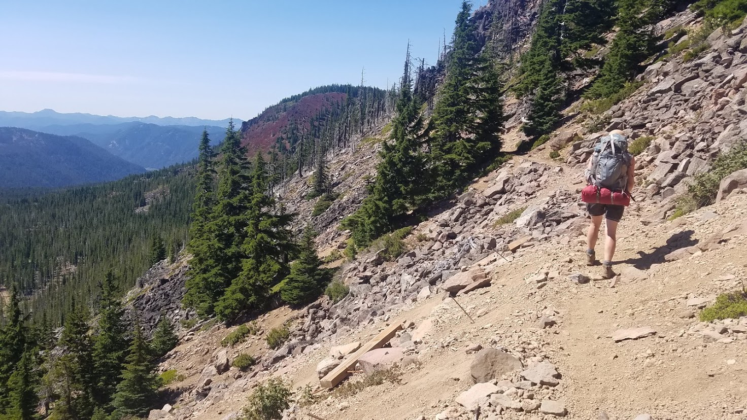
Some sections of the trail were a bit precarious with fairly steep drop-offs.

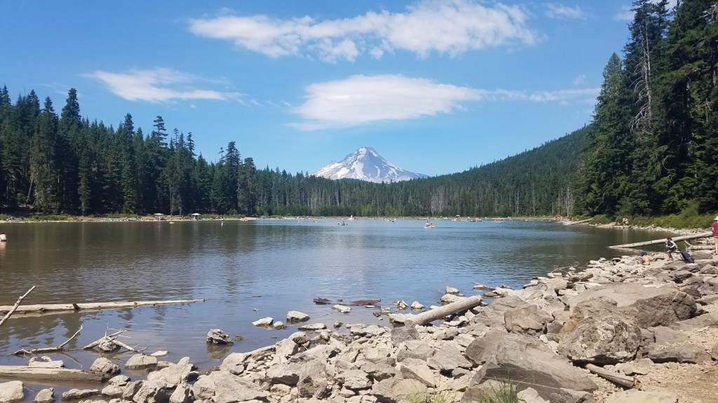
We got another glimpse of Mt. Hood hovering behind Pyramid Butte. It already looked a little bit closer.
At the junction of the Oregon Skyline Rd. (FR 4220 heading to Breitenbush Lake), we topped off water at a tiny water source. We weren’t too excited about this water, but it would do. We also attempted to sign a self-issue permit, but saw the familiar note below.

Just as we were leaving, I saw a Trail Angel sign! This was my very first trail magic encounter. (Hiking in a pandemic and all…) Of course, I had to check it out. A man in a camper van treated us to cherries and sandwiches. His daughter did the entire PCT a year or two ago, so he wanted to give back on her behalf. I think being a Trail Angel would be loads of fun!

The thru-hiker I met a few days ago picking “Mountain Blueberries,” and trying to hitch a ride into the town of Sisters was also there. He traveled with pool noodles, explaining that he placed them between his pack and his hips to prevent soreness; plus he lost so much weight, it helped his pack fit better. I wish I could remember his trail name…
When the Trail Angel mentioned something about motorcycle riding in Idaho recently, Michelle prompted us to get going, later filling me in on the huge Covid outbreak at Sturgis recently. Eeek! So, I had a new thing to stress about the rest of the day, and it was a reminder of the “real-world.”
The next few hours dragged on. We were tired, and ready for our relaxing evening. We had more cliffside trails, and eventually made it to “Many Lakes Viewpoint,” complete with a sign. It was a great place to rest.

We sat down on big boulders, and took shoes and socks off. But, at nearly 5 p.m. and 3 miles still to hike, we reluctantly put boots back on our feet after only 20 minutes, and motivated forward. My blister was thankfully just turning into a giant callous, but still tender.
I told Carl we would probably arrive around 4:30 p.m., but I didn’t account for all the picture taking, and getting a late start. Thankfully, the final stretch was a pleasant stroll hiking by several lakes.
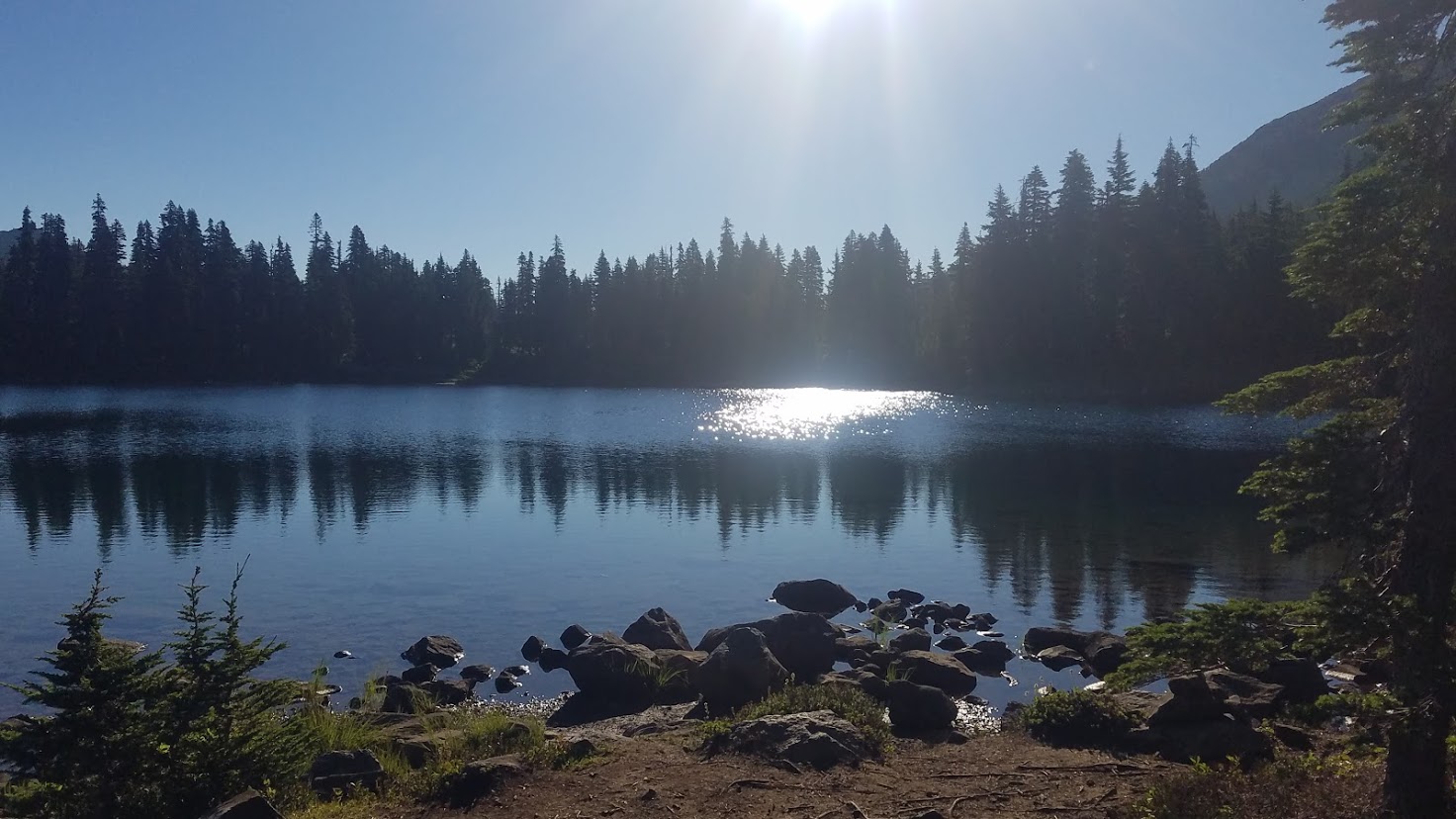
We decided to take a tiny “shortcut,” which had us leaving the PCT (never a good idea for me), but it seemed easy, according to my book. Taking the Red Lake Trail, we made it to beautiful Top Lake with no incident.

From this point, the signage was shabby. We continued on “the trail,” but when it became overrun, and ascending dramatically, it just didn’t feel right. So we hiked back to the tip of Top lake, planning to simply backtrack to the PCT. While feeling extremely defeated, I noticed a faint path circling the lake.
It was barely a trail, but I decided to check it out real quick – sure enough – this was the right trail! We weren’t 100% sure until we reached a trail junction mentioned in my book, then we could sigh with relief, knowing were were on the right track. I have only been to Olallie Lake one other time, and we got totally turned around on the trails that trip as well.
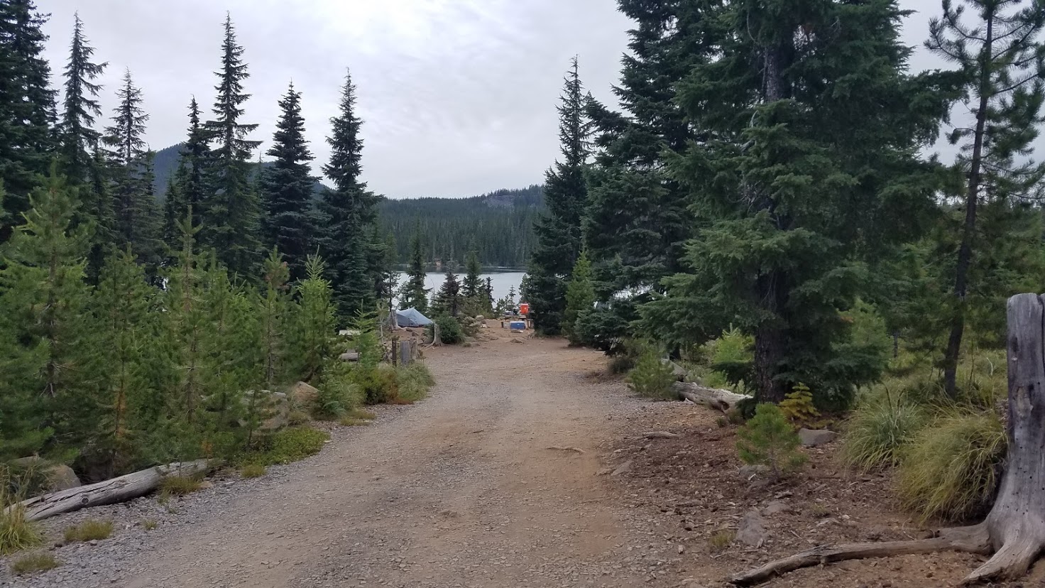
After 1.3 miles, we were SO happy to drop onto FR 4220 that navigates around Olallie lake – yay – we made it! It was a short .3 mile walk to the campground, and we saw our support crew immediately.

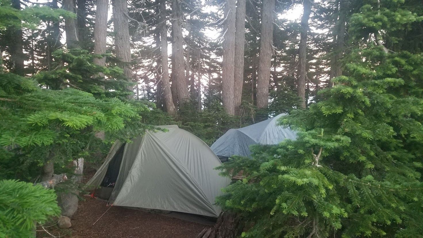
I felt bad we were coming in so late (6:45 p.m.), but we grabbed a huge camping spot right on the lakeshore, and had a relaxing evening – complete with amenities!


Carl made us a feast for dinner – meatless burgers and salad, and tons of chips and dips and cheeses. We had beer and cider to celebrate – Carl is truly the BEST Trail Angel! We were in a “no campfire” zone, so that was a bit of a bummer, because it got cold. Now on day 7 with no shower, a refreshing swim would have been nice, but Olallie Lake is a no-swimming lake.

Hux was a little clingy, so I ended up just going to bed with him at my usual backpacker bedtime. The stars were pretty spectacular, so the rest of the crew enjoyed drinks, conversation, and stargazing. Another epic day through Oregon in the books!

Did you miss the beginning of my Oregon PCT journey? Begin with Day 1: Here


Please Leave a Reply!